UN/LOCODE hub · South Korea
KRSPO
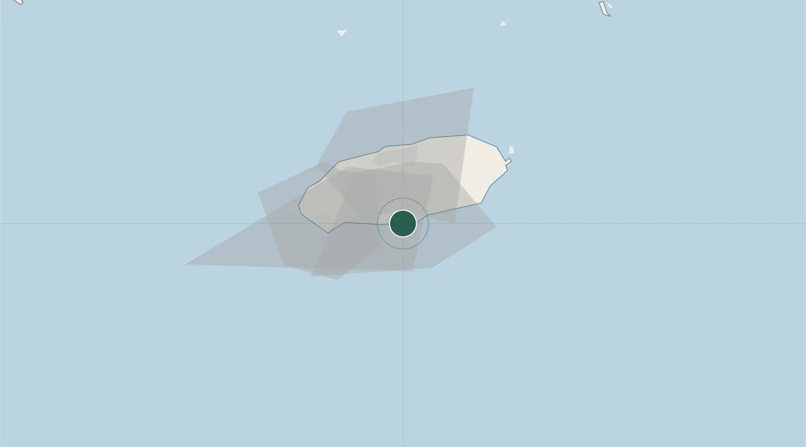
Seogwipo
33.2333°, 126.5500°
178,552
Population
2
Transport functions
Transport Functions
Port
Road
Hub Profile
Place type
Populated place
Region
Jeju-do
Population
178,552
Time zone
Asia/Seoul
Elevation
69 m
Location
Nearby Logistics Neighbours
Ports
- 1Mokpo173 km
- 2Gwangyang Hang217 km
- 3Aokata236 km
- 4Izuhara276 km
- 5Masan285 km
Airports
- 1Jeongseok Airport24 km
- 2Jeju International Airport31 km
- 3Muan International Airport196 km
- 4Yeosu Airport204 km
- 5Gwangju Airport212 km
Trade Zones
DatabookThe Record of Consolidated Knowledge
South Korea beyond logistics?