Transport Functions
Port
Rail
Road
Hub Profile
Place type
Provincial seat
Region
Jeollanam-do
Population
59,914
Time zone
Asia/Seoul
Elevation
75 m
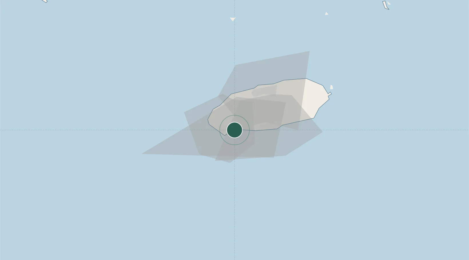
Location
Nearby Logistics Neighbours
Ports
- 1Mokpo172 km
- 2Gwangyang Hang227 km
- 3Aokata256 km
- 4Izuhara295 km
- 5Masan299 km
Airports
- 1Jeju International Airport34 km
- 2Jeongseok Airport40 km
- 3Muan International Airport196 km
- 4Yeosu Airport215 km
- 5Gwangju Airport215 km
Trade Zones
DatabookThe Record of Consolidated Knowledge
South Korea beyond logistics?