Diversified Zone · South Korea

Woljeon Foreign Investment Zone Under Development
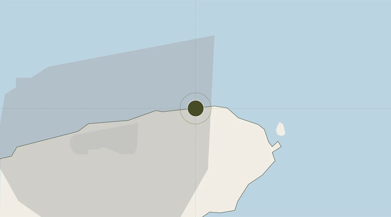
33.5582°, 126.7458°
10 ha
Zone area
140.2 km
Nearest port
17.9 km
Nearest airport

Gateway access

Nearest neighbours — logibook spatial index (haversine) over the source coordinates

Zone profile

Zone type
Diversified Zone
Open Zone Map
Region
Jeju
Open Zone Map
Status
Under Development
Open Zone Map
Management
Public
Open Zone Map
Operator
Gwangju Metropolitan City Corporation
Open Zone Map
Legal framework
Foreign Investment Promotion Act: Expand Act No. 16131, Dec. 31, 2018.
Open Zone Map

Location

Location of ozm-4177
Natural Earth 10m (public domain) · Jeju · ozm-4177 · 33.56, 126.75GoogleOSMYandex

Nearby Logistics Neighbours

Ports
  1. 1Mokpo140 km
  2. 2Gwangyang Hang176 km
  3. 3Aokata225 km
  4. 4Masan246 km
  5. 5Izuhara246 km
Nearest neighbours — logibook spatial index (haversine) over the source coordinates
Airports
  1. 1Jeongseok Airport18 km
  2. 2Jeju International Airport24 km
  3. 3Muan International Airport163 km
  4. 4Yeosu Airport164 km
  5. 5Gwangju Airport174 km
Nearest neighbours — logibook spatial index (haversine) over the source coordinates
Cities
  1. 1Seongsan-po20 km
  2. 2Kwangyang21 km
  3. 3Jeju22 km
  4. 4Seogwipo40 km
  5. 5Aewol42 km
Nearest neighbours — logibook spatial index (haversine) over the source coordinates
Trade Zones
  1. 1Jeju Regulation-Free Zone22 km
  2. 2Jindo Export Processing Zone111 km
  3. 3Haenam Enterprise City of Tourism and Leisure113 km
  4. 4Samho General Industrial Complex136 km
  5. 5Daebul Foreign Investment Zone137 km
Nearest neighbours — logibook spatial index (haversine) over the source coordinates
DatabookThe Record of Consolidated Knowledge
South Korea beyond logistics?
Browse databook

All Sources

Trade ZonesOpen Zone Map
CC BY
Portsthe NGA World Port Index
Public domain (US gov)
AirportsOurAirports
Public domain
LocationsUN/LOCODE
UN/LOCODE — free
← South Korea trade zones