Transport Functions
Port
Road
Airport
Hub Profile
Region
49
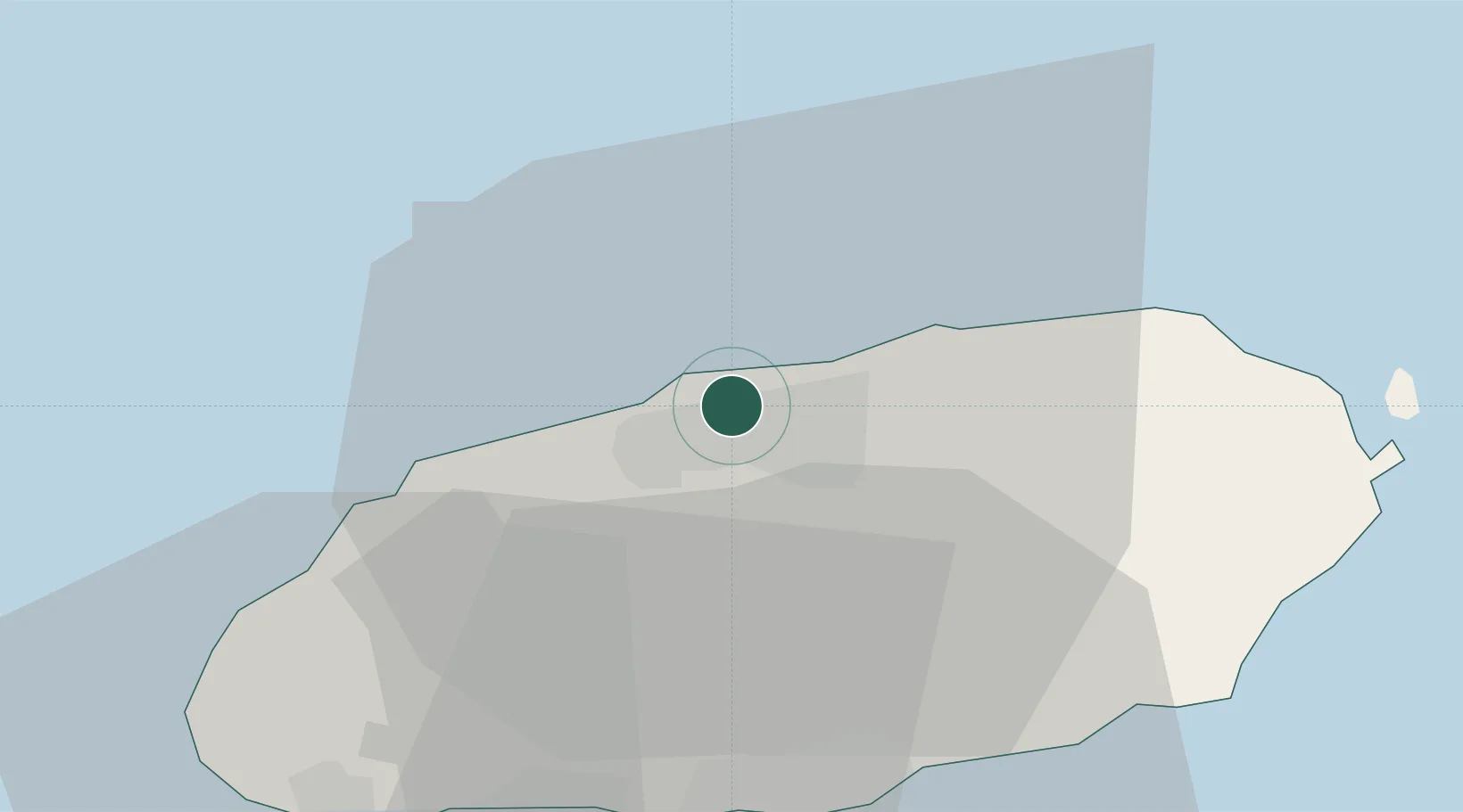
Location
Nearby Logistics Neighbours
Ports
- 1Mokpo143 km
- 2Gwangyang Hang193 km
- 3Aokata244 km
- 4Masan265 km
- 5Chinae267 km
Airports
- 1Jeju International Airport3 km
- 2Jeongseok Airport21 km
- 3Muan International Airport166 km
- 4Yeosu Airport180 km
- 5Gwangju Airport182 km
Trade Zones
DatabookThe Record of Consolidated Knowledge
South Korea beyond logistics?