Transport Functions
Port
Hub Profile
Region
49
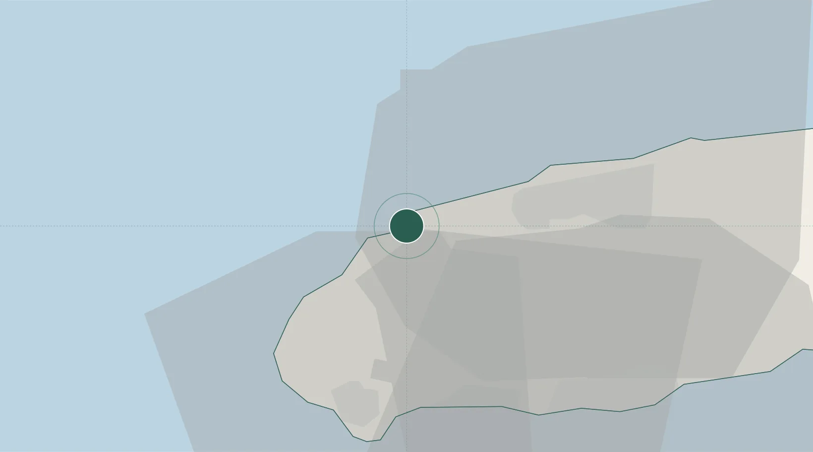
Location
Nearby Logistics Neighbours
Ports
- 1Mokpo148 km
- 2Gwangyang Hang209 km
- 3Aokata261 km
- 4Masan283 km
- 5Kunsan283 km
Airports
- 1Jeju International Airport18 km
- 2Jeongseok Airport37 km
- 3Muan International Airport172 km
- 4Gwangju Airport191 km
- 5Yeosu Airport196 km
Trade Zones
DatabookThe Record of Consolidated Knowledge
South Korea beyond logistics?