Channel & Berth Profile
Pilotage, Tugs & Services
Pilotage availableYES
Tug assistanceYES
Diesel bunkersNO
Facilities & Capabilities
Container—
Ro-Ro—
Liquid bulk—
Dry bulk—
Oil terminal—
Break bulk—
Dry dock—
Repairs—
BunkeringNO
Rail link—
Dangerous cargo—
ISPS security—
Harbour Specifications
Harbour size
Very Small
Harbour type
Open Roadstead
Shelter
Poor
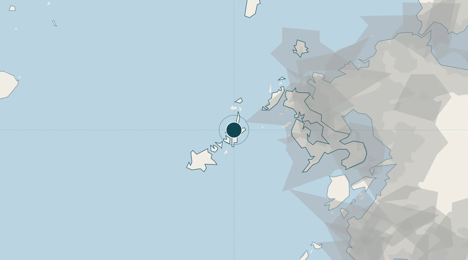
Water body
Korea Strait; North Pacific Ocean
Location
Nearby Logistics Neighbours
Ports
- 1Matsu-Shima50 km
- 2Sasebo64 km
- 3Nagasaki79 km
- 4Imari83 km
- 5Karatsu101 km
Cities
- 1Goto40 km
- 2Ôshima, Nagasaki52 km
- 3Seto53 km
- 4Ulju-gun/Ulsan54 km
- 5Saikai55 km
Airports
- 1Fukue Airport42 km
- 2Nagasaki Airport79 km
- 3Iki Airport108 km
- 4Amakusa Airport116 km
- 5Kyushu Saga International Airport117 km
DatabookThe Record of Consolidated Knowledge
Japan beyond logistics?