Transport Functions
Port
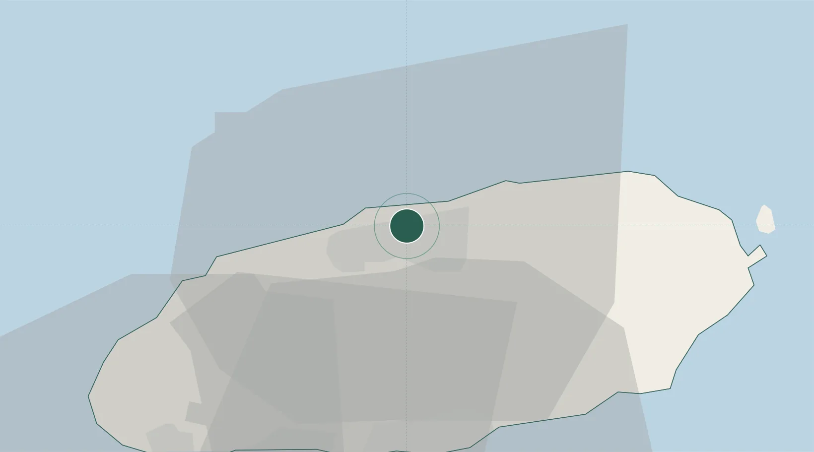
Hub Profile
Place type
Populated place
Region
Jeju-do
Time zone
Asia/Seoul
Elevation
64 m
Location
Nearby Logistics Neighbours
Ports
- 1Mokpo143 km
- 2Gwangyang Hang193 km
- 3Aokata243 km
- 4Masan264 km
- 5Chinae266 km
Airports
- 1Jeju International Airport4 km
- 2Jeongseok Airport20 km
- 3Muan International Airport166 km
- 4Yeosu Airport180 km
- 5Gwangju Airport182 km
Trade Zones
DatabookThe Record of Consolidated Knowledge
South Korea beyond logistics?