UN/LOCODE hub · South Korea
KRJDO

Jindo-gun

34.4833°, 126.2500°
2
Transport functions

Transport Functions

Rail
Road
UN/LOCODE

Hub Profile

Region
46
GeoNames

Location

Location of KRJDO
Natural Earth 10m (public domain) · 46 · KRJDO · 34.48, 126.25GoogleOSMYandex

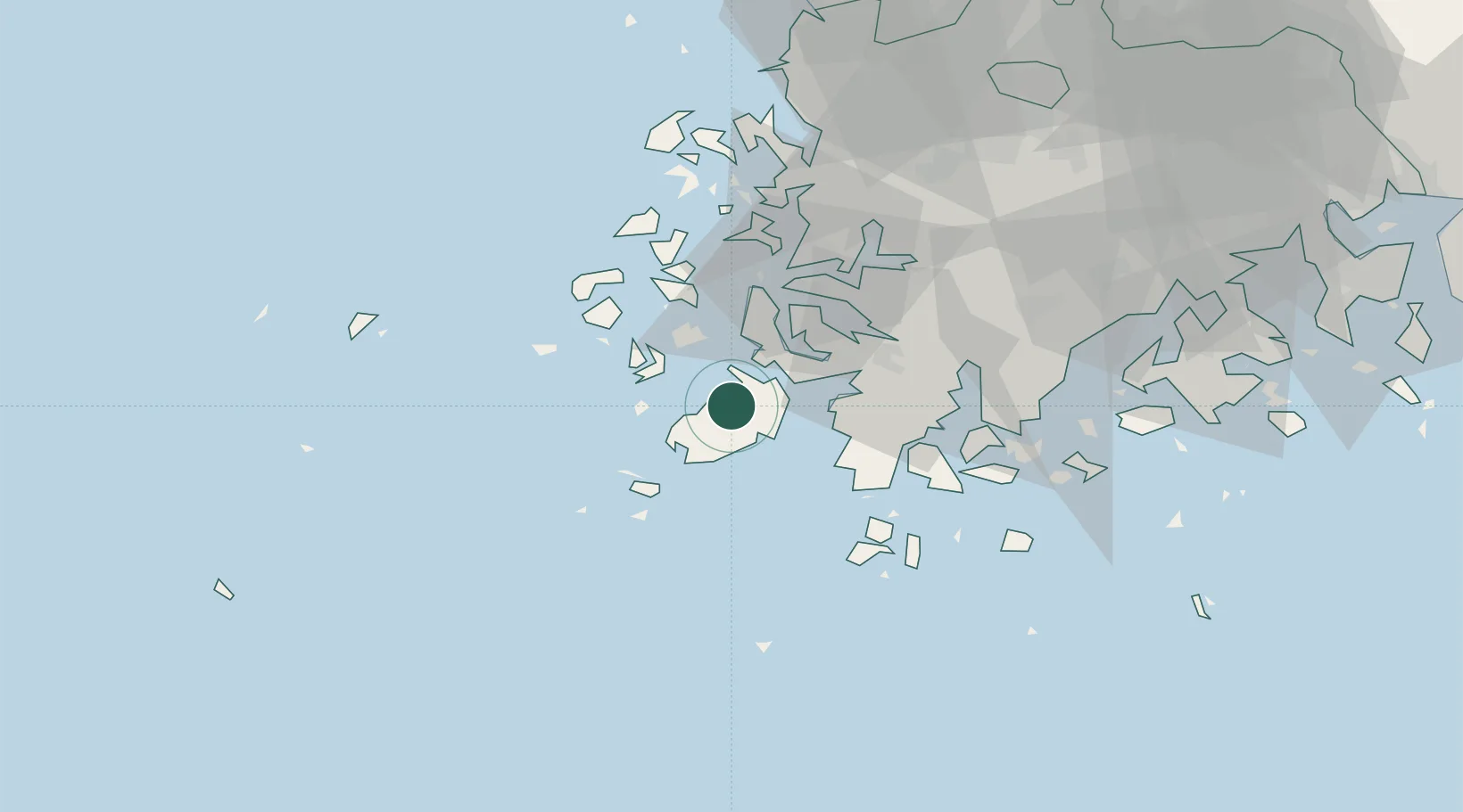
Nearby Logistics Neighbours

Cities
  1. 1Galdoo32 km
  2. 2Daebul/Yeongam-gun34 km
  3. 3Sinan-gun35 km
  4. 4Mokpo37 km
  5. 5Songgong39 km
Nearest neighbours — logibook spatial index (haversine) over the source coordinates
Ports
  1. 1Mokpo36 km
  2. 2Gwangyang Hang145 km
  3. 3Kunsan170 km
  4. 4Masan225 km
  5. 5Chinae231 km
Nearest neighbours — logibook spatial index (haversine) over the source coordinates
Airports
  1. 1Muan International Airport58 km
  2. 2Gwangju Airport87 km
  3. 3Jeju International Airport110 km
  4. 4Jeongseok Airport128 km
  5. 5Yeosu Airport131 km
Nearest neighbours — logibook spatial index (haversine) over the source coordinates
Trade Zones
  1. 1Jindo Export Processing Zone3 km
  2. 2Samho General Industrial Complex31 km
  3. 3Haenam Enterprise City of Tourism and Leisure33 km
  4. 4Daebul Foreign Investment Zone36 km
  5. 5Daebul Foreign Investment Zone36 km
Nearest neighbours — logibook spatial index (haversine) over the source coordinates
DatabookThe Record of Consolidated Knowledge
South Korea beyond logistics?
Browse databook

All Sources

LocationsUN/LOCODE
UN/LOCODE — free
Portsthe NGA World Port Index
Public domain (US gov)
AirportsOurAirports
Public domain
Trade Zonesthe World Bank SEZ database
CC BY 4.0
Trade ZonesOpen Zone Map
CC BY
← South Korea locations