UN/LOCODE hub · South Korea
KRMOK

Mokpo

34.8000°, 126.3833°
268,402
Population
3
Transport functions

Transport Functions

Port
Rail
Road
Mokpo is also a profiled seaport →
UN/LOCODE

Hub Profile

Place type
Provincial seat
GeoNames
Region
Jeollanam-do
GeoNames
Population
268,402
GeoNames
Time zone
Asia/Seoul
GeoNames
Elevation
48 m
GeoNames

Location

Location of KRMOK
Natural Earth 10m (public domain) · Jeollanam-do · KRMOK · 34.80, 126.38GoogleOSMYandex

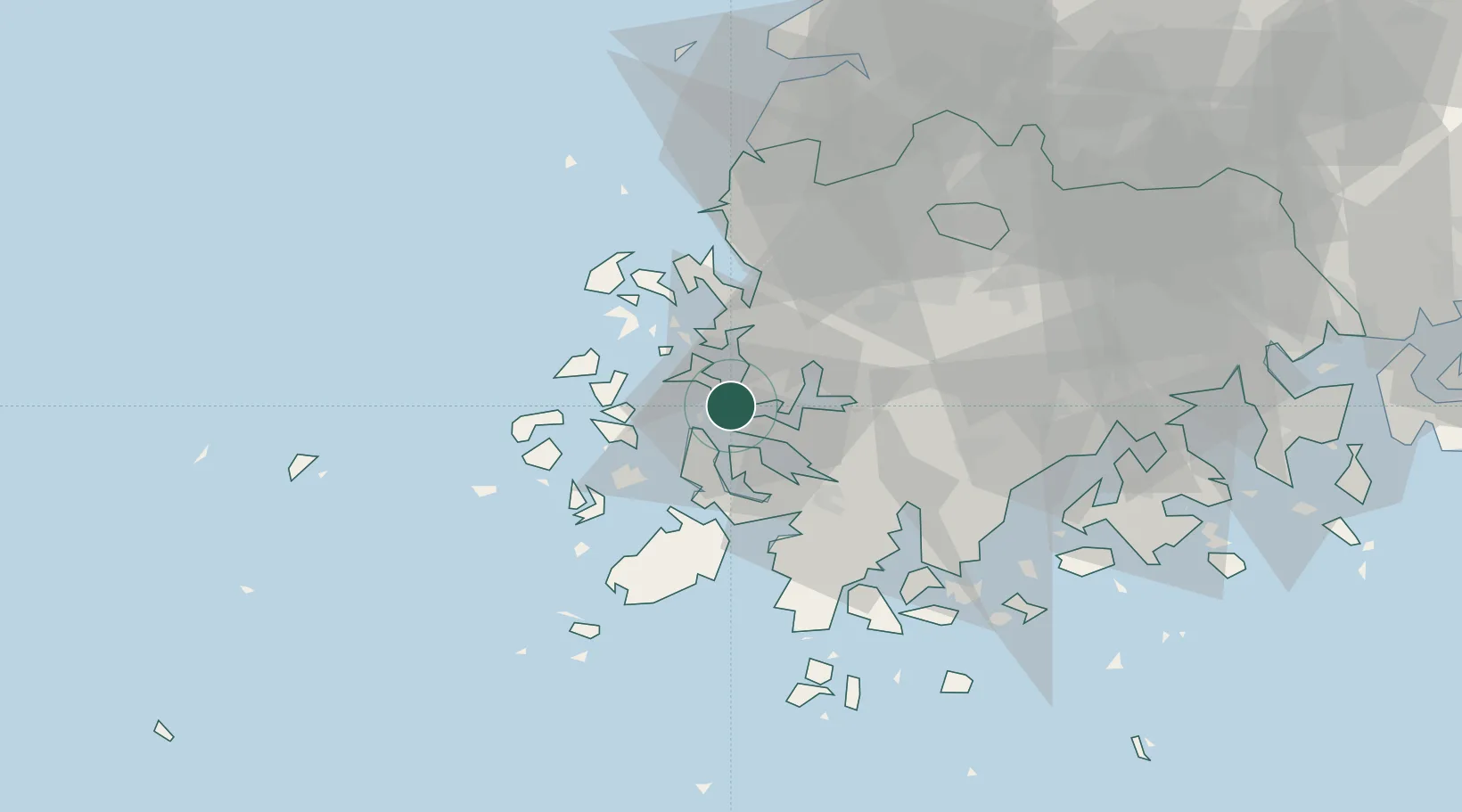
Nearby Logistics Neighbours

Cities
  1. 1Sinan-gun2 km
  2. 2Daebul/Yeongam-gun7 km
  3. 3Songgong16 km
  4. 4Yeongam-gun29 km
  5. 5Jindo-gun37 km
Nearest neighbours — logibook spatial index (haversine) over the source coordinates
Ports
  1. 1Gwangyang Hang125 km
  2. 2Kunsan133 km
  3. 3Masan203 km
  4. 4Chinae210 km
  5. 5Busan244 km
Nearest neighbours — logibook spatial index (haversine) over the source coordinates
Airports
  1. 1Muan International Airport21 km
  2. 2Gwangju Airport53 km
  3. 3Yeosu Airport113 km
  4. 4Gunsan Airport / Gunsan Air Base125 km
  5. 5Jeju International Airport144 km
Nearest neighbours — logibook spatial index (haversine) over the source coordinates
Trade Zones
  1. 1Daebul Foreign Investment Zone6 km
  2. 2Samho General Industrial Complex7 km
  3. 3Daebul Foreign Investment Zone7 km
  4. 4South Jeolla Regulation-Free Zone27 km
  5. 5Haenam Enterprise City of Tourism and Leisure32 km
Nearest neighbours — logibook spatial index (haversine) over the source coordinates
DatabookThe Record of Consolidated Knowledge
South Korea beyond logistics?
Browse databook

All Sources

LocationsUN/LOCODE
UN/LOCODE — free
LocationsGeoNames
CC BY 4.0
Portsthe NGA World Port Index
Public domain (US gov)
AirportsOurAirports
Public domain
Trade Zonesthe World Bank SEZ database
CC BY 4.0
Trade ZonesOpen Zone Map
CC BY
← South Korea locations