UN/LOCODE hub · South Korea
KRSAN

Sinan-gun

34.7833°, 126.3667°
2
Transport functions

Transport Functions

Rail
Road
UN/LOCODE

Hub Profile

Region
46
GeoNames

Location

Location of KRSAN
Natural Earth 10m (public domain) · 46 · KRSAN · 34.78, 126.37GoogleOSMYandex

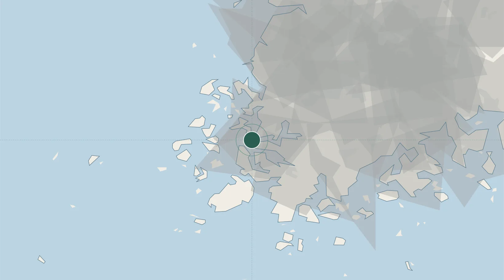
Nearby Logistics Neighbours

Cities
  1. 1Mokpo2 km
  2. 2Daebul/Yeongam-gun7 km
  3. 3Songgong15 km
  4. 4Yeongam-gun30 km
  5. 5Jindo-gun35 km
Nearest neighbours — logibook spatial index (haversine) over the source coordinates
Ports
  1. 1Mokpo2 km
  2. 2Gwangyang Hang127 km
  3. 3Kunsan135 km
  4. 4Masan205 km
  5. 5Chinae212 km
Nearest neighbours — logibook spatial index (haversine) over the source coordinates
Airports
  1. 1Muan International Airport23 km
  2. 2Gwangju Airport55 km
  3. 3Yeosu Airport114 km
  4. 4Gunsan Airport / Gunsan Air Base127 km
  5. 5Jeju International Airport142 km
Nearest neighbours — logibook spatial index (haversine) over the source coordinates
Trade Zones
  1. 1Samho General Industrial Complex5 km
  2. 2Daebul Foreign Investment Zone7 km
  3. 3Daebul Foreign Investment Zone7 km
  4. 4South Jeolla Regulation-Free Zone29 km
  5. 5Haenam Enterprise City of Tourism and Leisure31 km
Nearest neighbours — logibook spatial index (haversine) over the source coordinates
DatabookThe Record of Consolidated Knowledge
South Korea beyond logistics?
Browse databook

All Sources

LocationsUN/LOCODE
UN/LOCODE — free
Portsthe NGA World Port Index
Public domain (US gov)
AirportsOurAirports
Public domain
Trade Zonesthe World Bank SEZ database
CC BY 4.0
Trade ZonesOpen Zone Map
CC BY
← South Korea locations