Transport Functions
Rail
Road
Hub Profile
Place type
Populated place
Region
Chungcheongnam-do
Population
72,435
Time zone
Asia/Seoul
Elevation
23 m
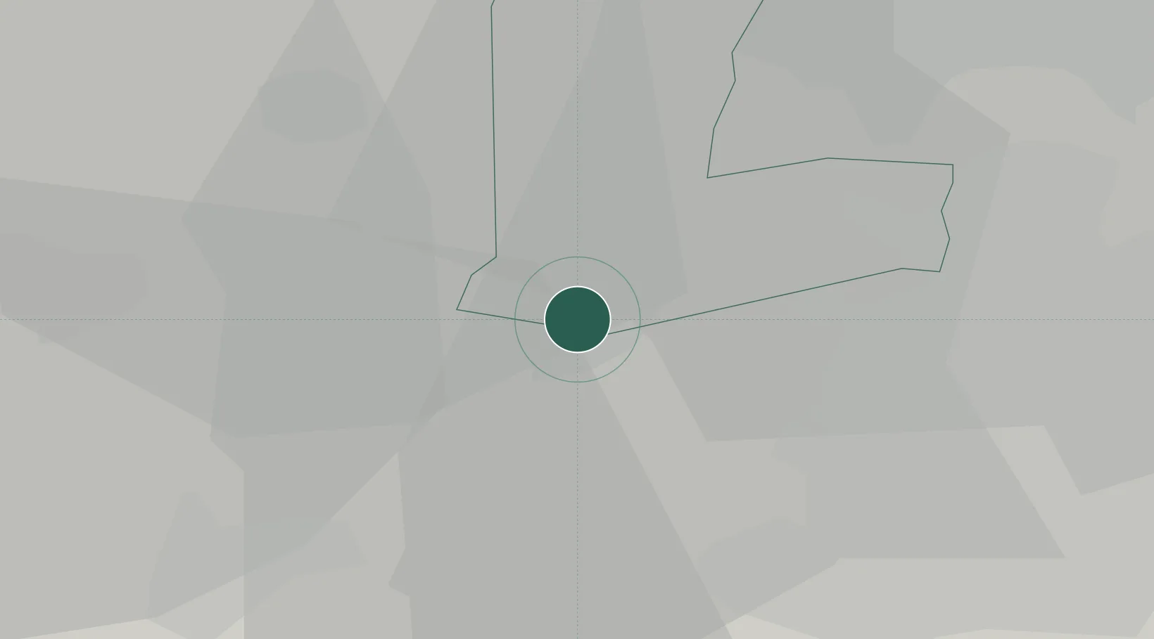
Location
Nearby Logistics Neighbours
Cities
- 1Chungju22 km
- 2Gyerong22 km
- 3Yeongi-gun23 km
- 4Cheongwon-gun23 km
- 5Osong23 km
Ports
- 1Pyeongtaek Hang68 km
- 2Kunsan70 km
- 3Daesan Hang91 km
- 4Inchon122 km
- 5Gwangyang Hang180 km
Airports
DatabookThe Record of Consolidated Knowledge
South Korea beyond logistics?