UN/LOCODE hub · South Korea
KRTYG
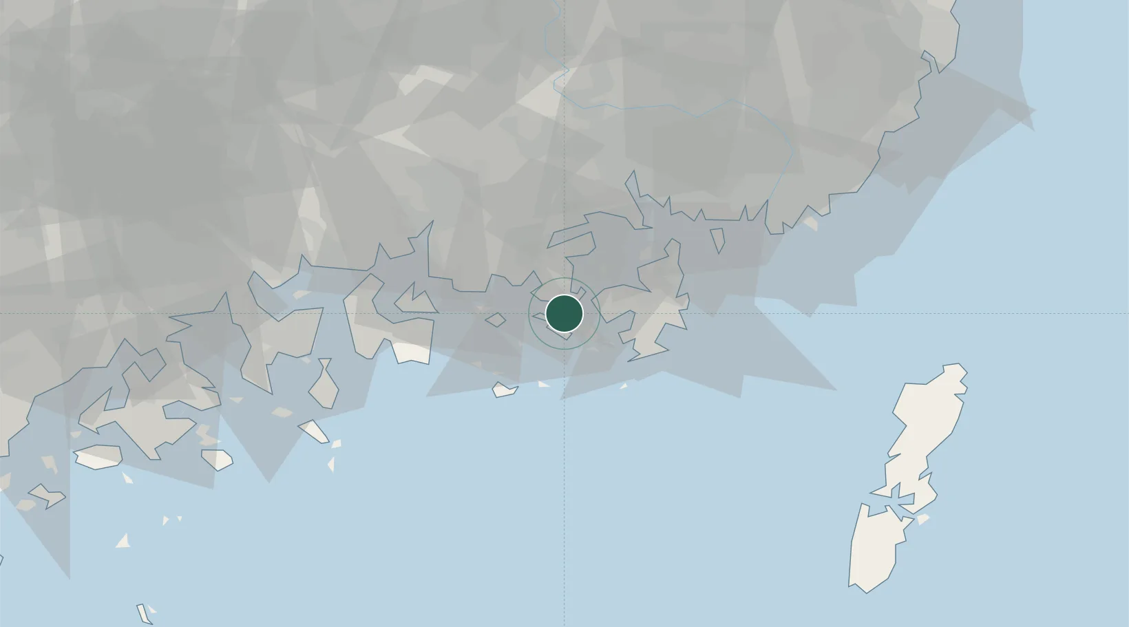
Tongyeong
34.8333°, 128.4167°
70,641
Population
2
Transport functions
Transport Functions
Port
Road
Hub Profile
Place type
Populated place
Region
Gyeongsangnam-do
Population
70,641
Time zone
Asia/Seoul
Elevation
28 m
Location
Nearby Logistics Neighbours
Cities
- 1Junghwa7 km
- 2Anjeong13 km
- 3Geoje15 km
- 4Koje15 km
- 5Goseong-gun17 km
Ports
- 1Chinae40 km
- 2Masan41 km
- 3Gwangyang Hang61 km
- 4Busan64 km
- 5Izuhara107 km
Airports
- 1Sacheon Airport / Sacheon Air Base42 km
- 2Gimhae International Airport61 km
- 3Yeosu Airport73 km
- 4Tsushima Airport104 km
- 5Ulsan Airport120 km
DatabookThe Record of Consolidated Knowledge
South Korea beyond logistics?