UN/LOCODE hub · South Korea
KRKHN

Gohyeon/Geoje

34.8833°, 128.6167°
1
Transport functions

Transport Functions

Port
UN/LOCODE

Hub Profile

Region
48
GeoNames

Location

Location of KRKHN
Natural Earth 10m (public domain) · 48 · KRKHN · 34.88, 128.62GoogleOSMYandex

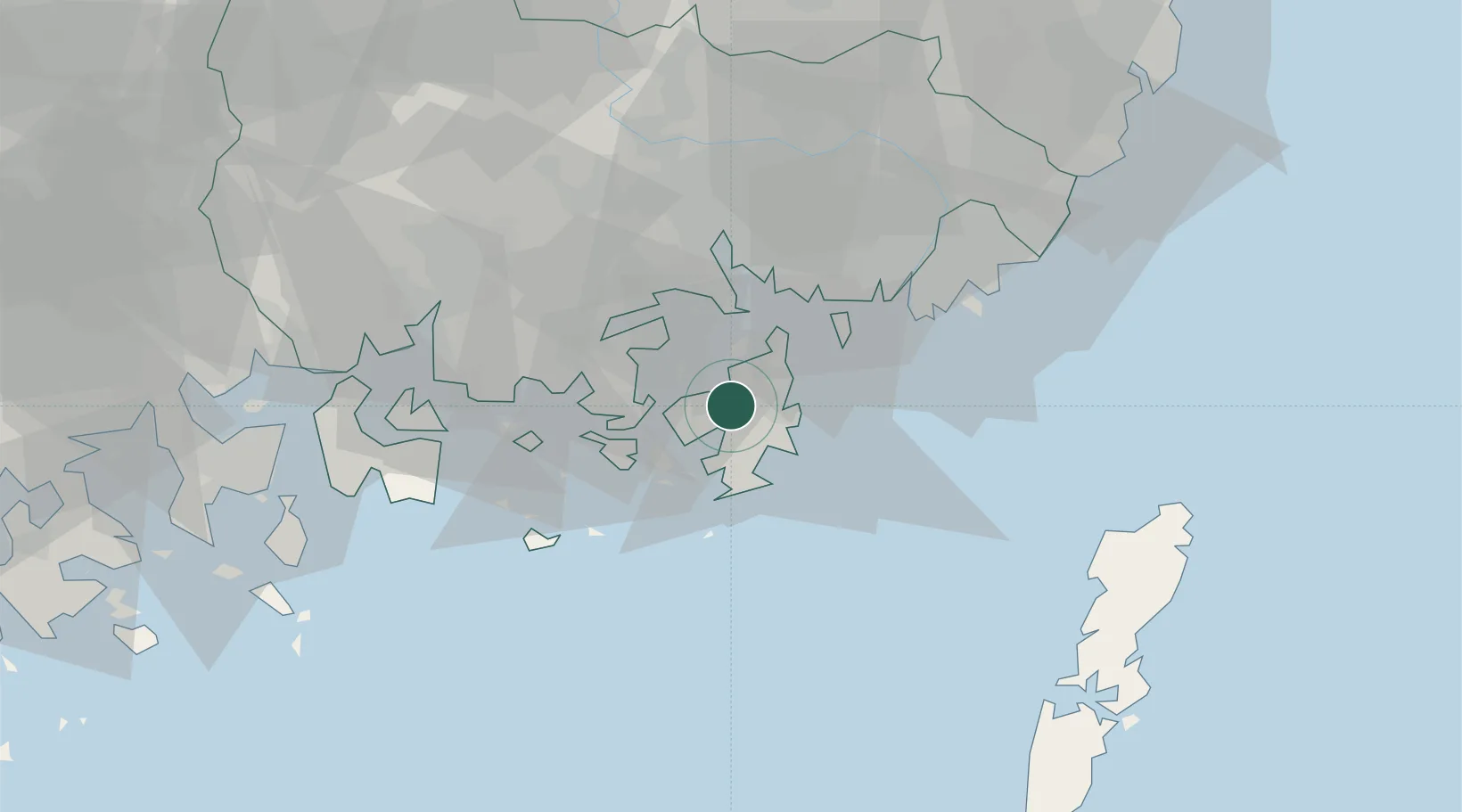
Nearby Logistics Neighbours

Cities
  1. 1Geoje5 km
  2. 2Koje5 km
  3. 3Okpo/Geoje8 km
  4. 4Anjeong18 km
  5. 5Tongyeong19 km
Nearest neighbours — logibook spatial index (haversine) over the source coordinates
Ports
  1. 1Chinae28 km
  2. 2Masan34 km
  3. 3Busan45 km
  4. 4Gwangyang Hang79 km
  5. 5Ulsan95 km
Nearest neighbours — logibook spatial index (haversine) over the source coordinates
Airports
  1. 1Gimhae International Airport44 km
  2. 2Sacheon Airport / Sacheon Air Base55 km
  3. 3Yeosu Airport91 km
  4. 4Tsushima Airport93 km
  5. 5Ulsan Airport103 km
Nearest neighbours — logibook spatial index (haversine) over the source coordinates
DatabookThe Record of Consolidated Knowledge
South Korea beyond logistics?
Browse databook

All Sources

LocationsUN/LOCODE
UN/LOCODE — free
Portsthe NGA World Port Index
Public domain (US gov)
AirportsOurAirports
Public domain
Trade Zonesthe World Bank SEZ database
CC BY 4.0
Trade ZonesOpen Zone Map
CC BY
← South Korea locations