Transport Functions
Port
Road
Hub Profile
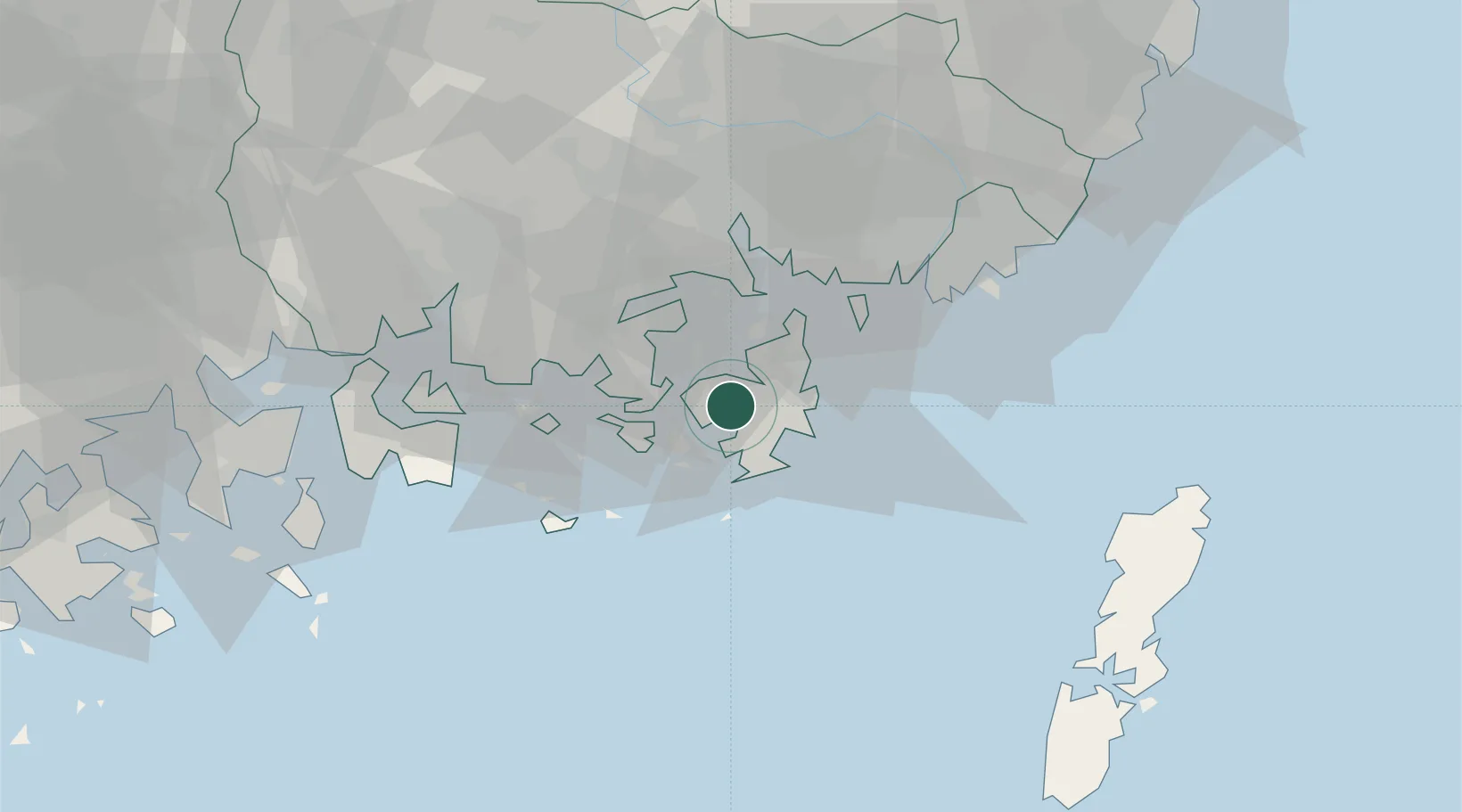
Place type
Populated place
Region
Gyeongsangnam-do
Population
232,921
Time zone
Asia/Seoul
Elevation
11 m
Location
Nearby Logistics Neighbours
Cities
- 1Koje0 km
- 2Gohyeon/Geoje5 km
- 3Okpo/Geoje11 km
- 4Tongyeong15 km
- 5Anjeong18 km
Ports
- 1Chinae32 km
- 2Masan37 km
- 3Busan50 km
- 4Gwangyang Hang76 km
- 5Izuhara98 km
Airports
- 1Gimhae International Airport49 km
- 2Sacheon Airport / Sacheon Air Base54 km
- 3Yeosu Airport88 km
- 4Tsushima Airport93 km
- 5Ulsan Airport108 km
DatabookThe Record of Consolidated Knowledge
South Korea beyond logistics?