Transport Functions
Port
Hub Profile
Place type
Populated place
Region
Kangwŏn-do
Time zone
Asia/Pyongyang
Elevation
17 m
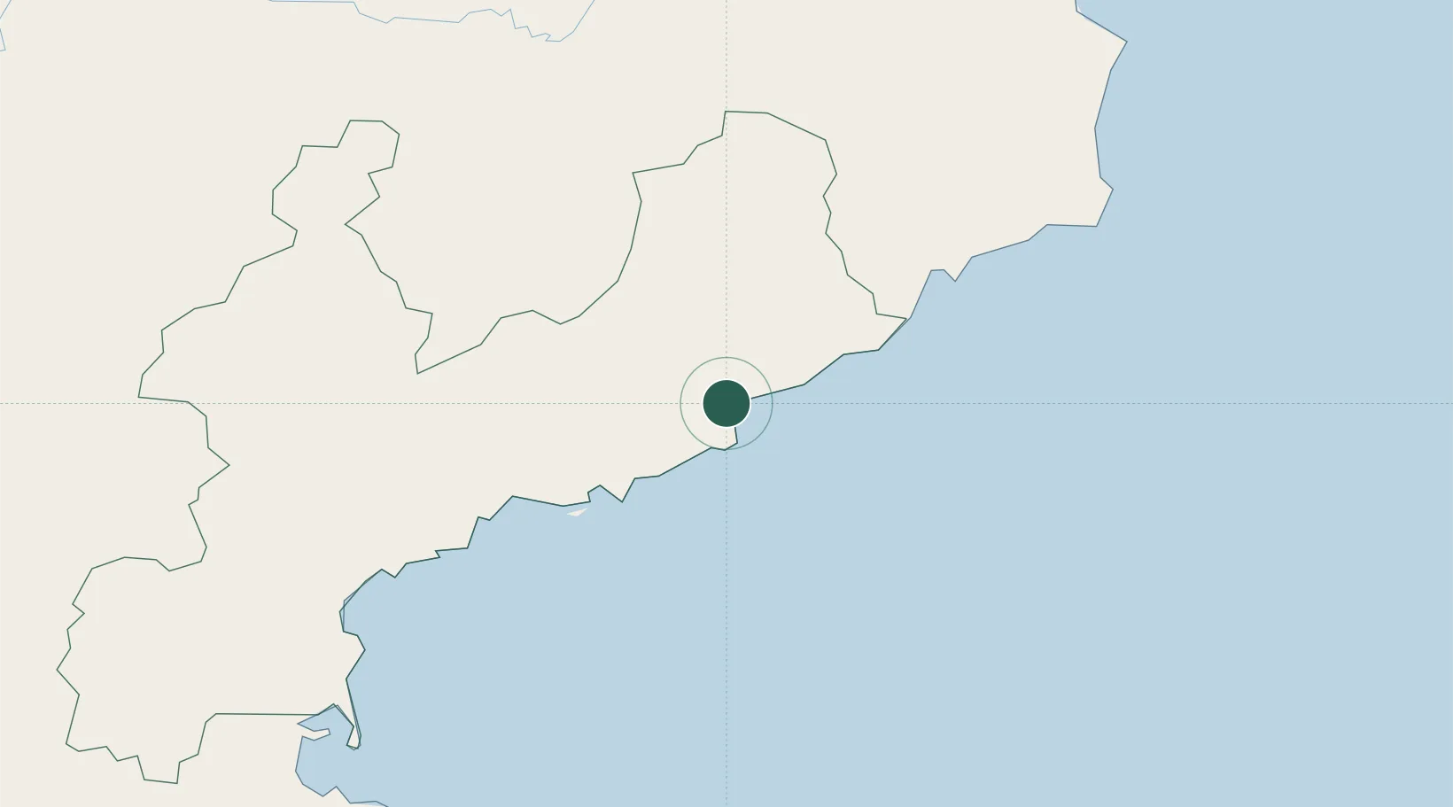
Location
Nearby Logistics Neighbours
Cities
- 1Tanchon28 km
- 2Sinpo42 km
- 3Odaejin151 km
- 4Yeoncheon-gun177 km
- 5Inje-gun186 km
Ports
- 1Kimch'aek62 km
- 2Hungnam102 km
- 3Wonsan163 km
- 4Ch'ongjin189 km
- 5Sokch'o Hang235 km
Airports
- 1Riwon Airbase9 km
- 2Hwangsuwon Airbase58 km
- 3Toksan Air Base94 km
- 4Changjin Air Force Base116 km
- 5Sondok Airport117 km
Trade Zones
DatabookThe Record of Consolidated Knowledge
North Korea beyond logistics?