Transport Functions
Port
Hub Profile
Place type
Populated place
Region
South Hamgyong
Time zone
Asia/Pyongyang
Elevation
8 m
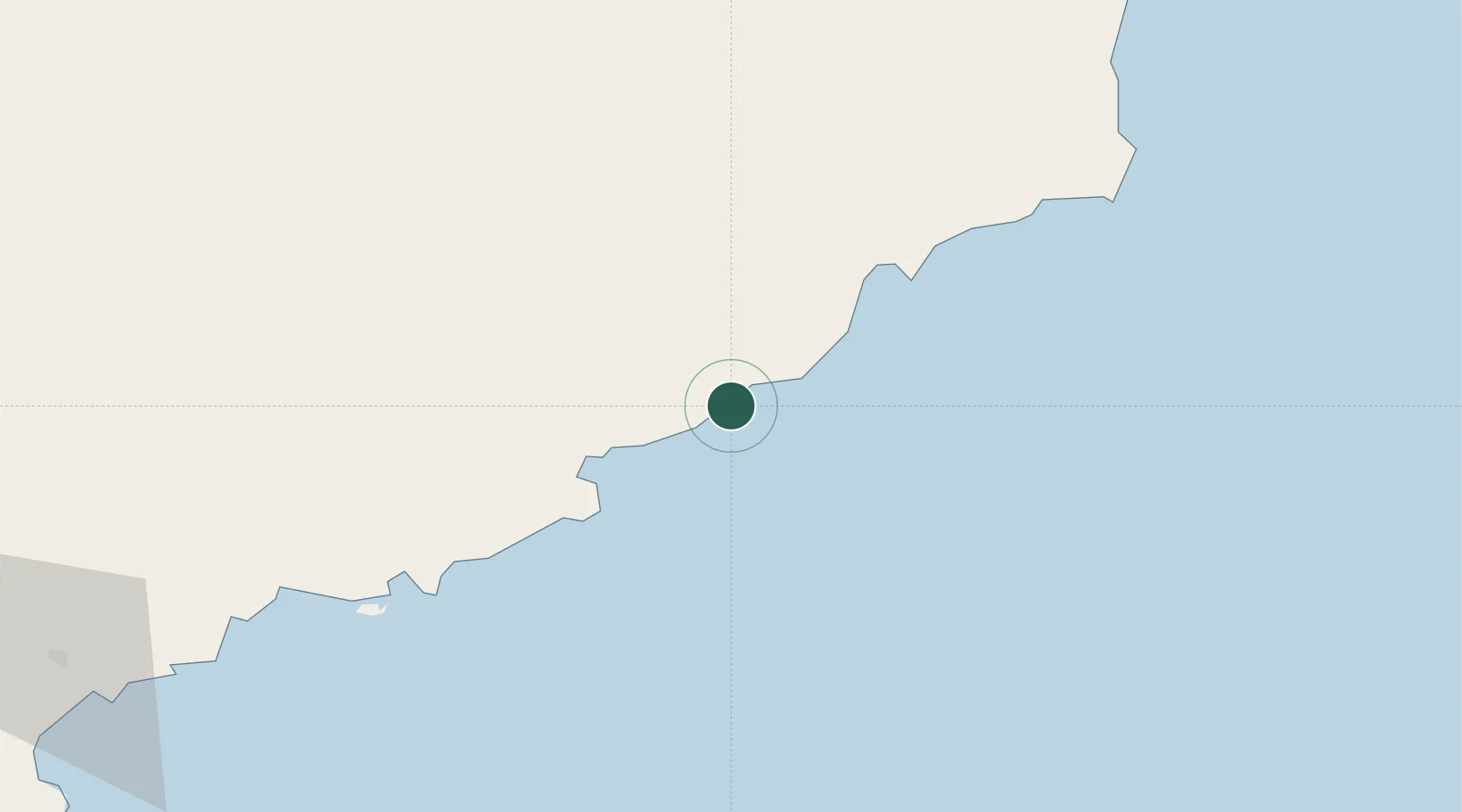
Location
Nearby Logistics Neighbours
Cities
- 1Riwon28 km
- 2Sinpo69 km
- 3Odaejin128 km
- 4Yeoncheon-gun199 km
- 5Inje-gun204 km
Airports
- 1Riwon Airbase19 km
- 2Hwangsuwon Airbase72 km
- 3Toksan Air Base122 km
- 4Orang (Chongjin) Airport128 km
- 5Changjin Air Force Base142 km
Trade Zones
DatabookThe Record of Consolidated Knowledge
North Korea beyond logistics?