Diversified Zone · Cambodia

N.L.C Special Economic Zone Under Development
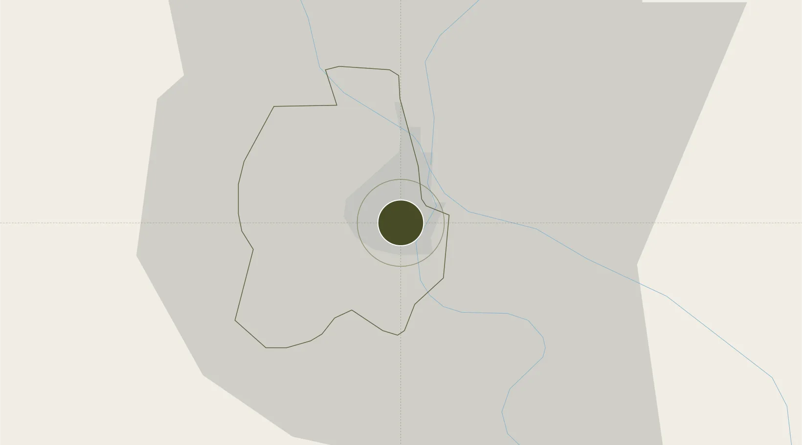
11.5442°, 104.9258°
105 ha
Zone area
181.0 km
Nearest port
8.8 km
Nearest airport

Gateway access

Nearest neighbours — logibook spatial index (haversine) over the source coordinates

Zone profile

Zone type
Diversified Zone
Open Zone Map
Region
Phnom Penh
Open Zone Map
Status
Under Development
Open Zone Map
Management
Private
Open Zone Map
Operator
NLC Import Export Co Ltd
Open Zone Map
Legal framework
License from CDC No 2403 dated 15 July 2005
Open Zone Map

Location

Location of ozm-254
Natural Earth 10m (public domain) · Phnom Penh · ozm-254 · 11.54, 104.93GoogleOSMYandex

Nearby Logistics Neighbours

Ports
  1. 1Duong Dong181 km
  2. 2Kampong Saom186 km
  3. 3Thanh Ho Chi Minh214 km
  4. 4Thanh Hoa217 km
  5. 5Cat Lai221 km
Nearest neighbours — logibook spatial index (haversine) over the source coordinates
Airports
  1. 1Phnom Penh International Airport9 km
  2. 2Techo International Airport21 km
  3. 3Rach Gia Airport178 km
  4. 4Sihanouk International Airport178 km
  5. 5Can Tho International Airport184 km
Nearest neighbours — logibook spatial index (haversine) over the source coordinates
Cities
  1. 1Ta Khmau7 km
  2. 2Phnom Penh7 km
  3. 3Kâmpóng Cham76 km
  4. 4Binh Long Port114 km
  5. 5Tay Ninh131 km
Nearest neighbours — logibook spatial index (haversine) over the source coordinates
Trade Zones
  1. 1Hkt Special Economic Zone3 km
  2. 2Kampong Saom Special Economic Zone7 km
  3. 3Kerry Worldbridge Special Economic Zone11 km
  4. 4Phnom Penh Special Economic Zone18 km
  5. 5Goldfame Pak Shun Special Economic Zone22 km
Nearest neighbours — logibook spatial index (haversine) over the source coordinates
DatabookThe Record of Consolidated Knowledge
Cambodia beyond logistics?
Browse databook

All Sources

Trade ZonesOpen Zone Map
CC BY
Portsthe NGA World Port Index
Public domain (US gov)
AirportsOurAirports
Public domain
LocationsUN/LOCODE
UN/LOCODE — free
← Cambodia trade zones