Free Trade Zone · Cambodia

Kerry Worldbridge Special Economic Zone Active
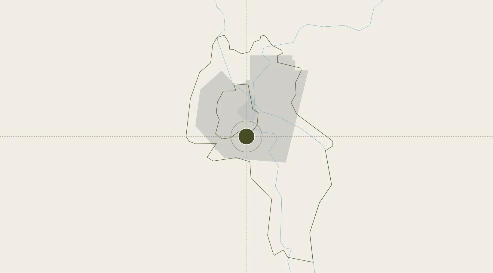
11.4460°, 104.9163°
63 ha
Zone area
171.6 km
Nearest port
9.6 km
Nearest airport

Gateway access

Nearest neighbours — logibook spatial index (haversine) over the source coordinates

Zone profile

Zone type
Free Trade Zone
Open Zone Map
Region
Kândal
Open Zone Map
Status
Active
Open Zone Map
Management
Private
Open Zone Map
Operator
Kerry Worldbridge Logistics Ltd
Open Zone Map
Legal framework
Sub-Decree No.147 on the Organization and Function of the Council for the Development of Cambodia (CDC)
Open Zone Map

Location

Location of ozm-276
Natural Earth 10m (public domain) · Kândal · ozm-276 · 11.45, 104.92GoogleOSMYandex

Nearby Logistics Neighbours

Ports
  1. 1Duong Dong172 km
  2. 2Kampong Saom179 km
  3. 3Thanh Ho Chi Minh211 km
  4. 4Thanh Hoa214 km
  5. 5Cat Lai218 km
Nearest neighbours — logibook spatial index (haversine) over the source coordinates
Airports
  1. 1Techo International Airport10 km
  2. 2Phnom Penh International Airport14 km
  3. 3Rach Gia Airport167 km
  4. 4Sihanouk International Airport171 km
  5. 5Phú Quốc International Airport174 km
Nearest neighbours — logibook spatial index (haversine) over the source coordinates
Cities
  1. 1Ta Khmau6 km
  2. 2Phnom Penh11 km
  3. 3Kâmpóng Cham85 km
  4. 4Binh Long Port104 km
  5. 5Dong Thap128 km
Nearest neighbours — logibook spatial index (haversine) over the source coordinates
Trade Zones
  1. 1N.L.C Special Economic Zone11 km
  2. 2Hkt Special Economic Zone13 km
  3. 3Goldfame Pak Shun Special Economic Zone13 km
  4. 4Kampong Saom Special Economic Zone13 km
  5. 5Phnom Penh Special Economic Zone18 km
Nearest neighbours — logibook spatial index (haversine) over the source coordinates
DatabookThe Record of Consolidated Knowledge
Cambodia beyond logistics?
Browse databook

All Sources

Trade ZonesOpen Zone Map
CC BY
Portsthe NGA World Port Index
Public domain (US gov)
AirportsOurAirports
Public domain
LocationsUN/LOCODE
UN/LOCODE — free
← Cambodia trade zones