Transport Functions
Multimodal
Hub Profile
Region
11
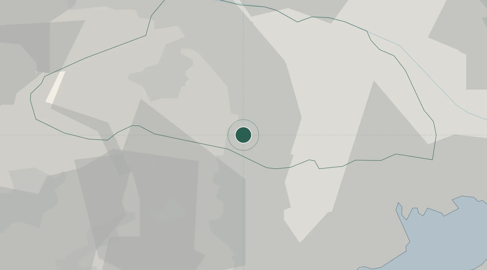
Location
Nearby Logistics Neighbours
Cities
- 1Hamura9 km
- 2Ogose, Saitama12 km
- 3Fussa13 km
- 4Hatoyama15 km
- 5Tokorozawa15 km
Ports
- 1Tokyo Ko44 km
- 2Yokohama Ko51 km
- 3Kawasaki Ko56 km
- 4Funabashi61 km
- 5Yokosuka Ko71 km
Airports
DatabookThe Record of Consolidated Knowledge
Japan beyond logistics?