UN/LOCODE hub · Japan
JPIWU

Iwakura Aichi

35.2833°, 136.8667°
1
Transport functions

Transport Functions

Multimodal
UN/LOCODE

Hub Profile

Region
23
GeoNames

Location

Location of JPIWU
Natural Earth 10m (public domain) · 23 · JPIWU · 35.28, 136.87GoogleOSMYandex

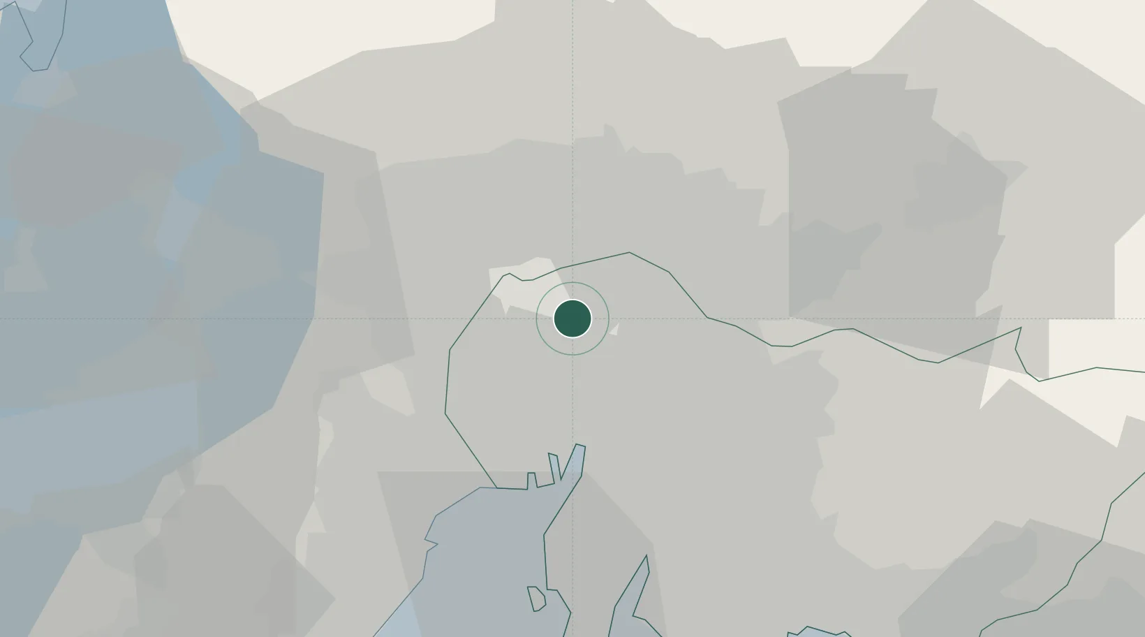
Nearby Logistics Neighbours

Cities
  1. 1Kitanagoya6 km
  2. 2Toyoyama, Aichi6 km
  3. 3Kiyosu Aichi8 km
  4. 4Inazawa8 km
  5. 5Kakamigahara15 km
Nearest neighbours — logibook spatial index (haversine) over the source coordinates
Ports
  1. 1Nagoya Ko24 km
  2. 2Yokkaichi41 km
  3. 3Kinuura Ko49 km
  4. 4Gamagori Ko61 km
  5. 5Atsumi71 km
Nearest neighbours — logibook spatial index (haversine) over the source coordinates
Airports
  1. 1Nagoya Airport / JASDF Komaki Air Base6 km
  2. 2Gifu Airport12 km
  3. 3Chubu Centrair International Airport48 km
  4. 4JASDF Hamamatsu Air Base97 km
  5. 5Fukui Airport112 km
Nearest neighbours — logibook spatial index (haversine) over the source coordinates
DatabookThe Record of Consolidated Knowledge
Japan beyond logistics?
Browse databook

All Sources

LocationsUN/LOCODE
UN/LOCODE — free
Portsthe NGA World Port Index
Public domain (US gov)
AirportsOurAirports
Public domain
Trade Zonesthe World Bank SEZ database
CC BY 4.0
Trade ZonesOpen Zone Map
CC BY
← Japan locations