Transport Functions
Port
Hub Profile
Place type
Locality
Region
Kanagawa
Time zone
Asia/Tokyo
Elevation
206 m
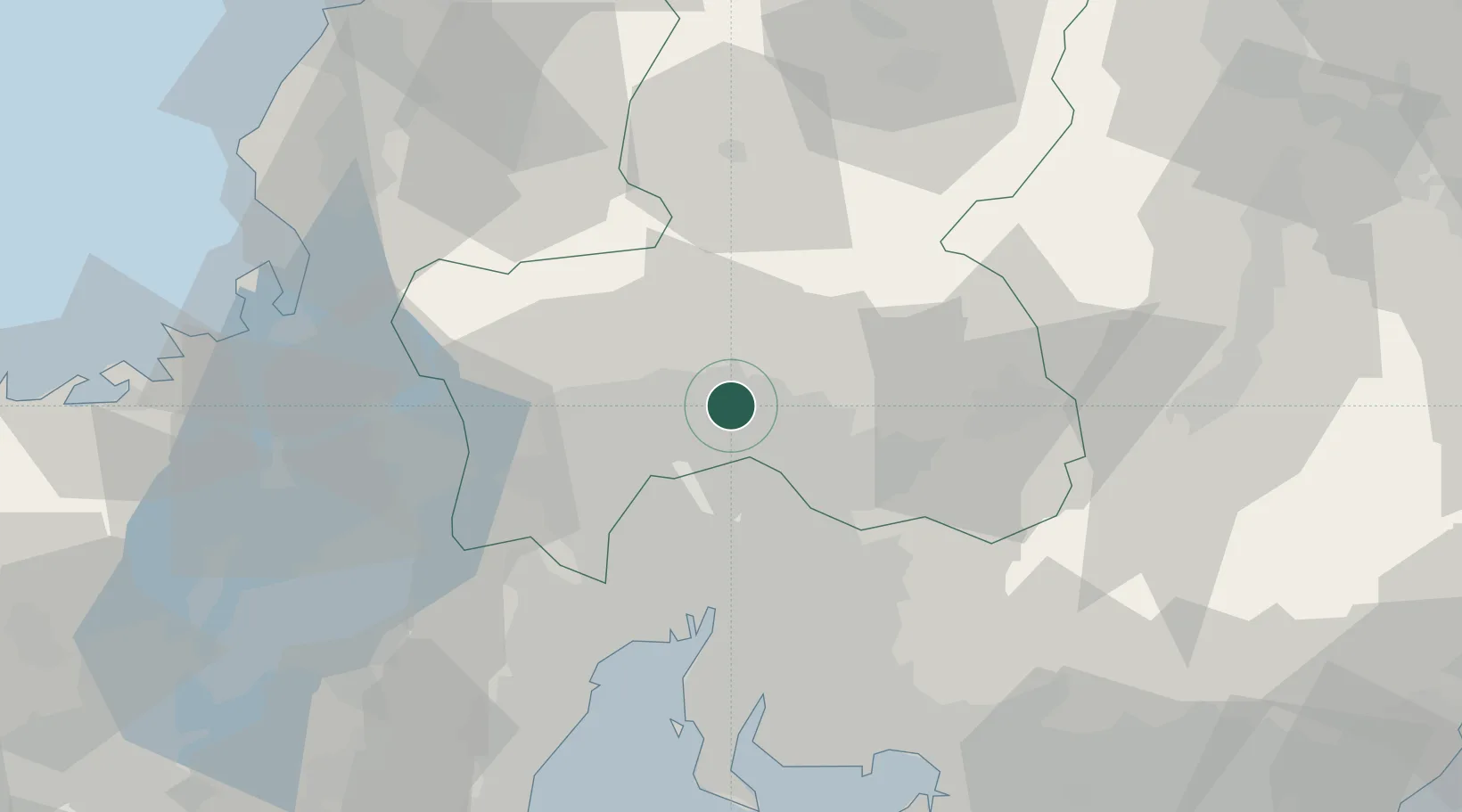
Location
Nearby Logistics Neighbours
Cities
- 1Kakamigahara9 km
- 2Yamagata12 km
- 3Sakahogi13 km
- 4Iwakura Aichi23 km
- 5Toyoyama, Aichi26 km
Ports
- 1Nagoya Ko47 km
- 2Yokkaichi63 km
- 3Kinuura Ko71 km
- 4Gamagori Ko79 km
- 5Tsuruga Ko79 km
Airports
- 1Gifu Airport11 km
- 2Nagoya Airport / JASDF Komaki Air Base25 km
- 3Chubu Centrair International Airport70 km
- 4Fukui Airport96 km
- 5JASDF Hamamatsu Air Base108 km
DatabookThe Record of Consolidated Knowledge
Japan beyond logistics?