Transport Functions
Rail
Road
Hub Profile
Place type
Provincial seat
Region
Yamanashi
Population
33,435
Time zone
Asia/Tokyo
Elevation
321 m
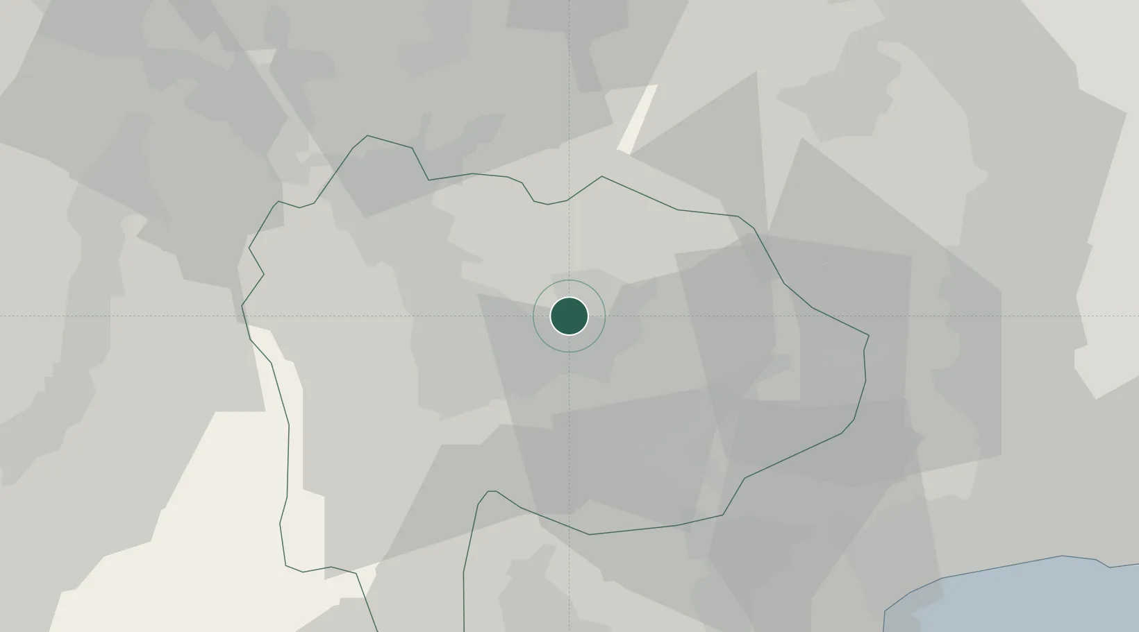
Location
Nearby Logistics Neighbours
Cities
- 1Nakamichi13 km
- 2Kai14 km
- 3Minami Alps-Shi16 km
- 4Otsuki26 km
- 5Oshino30 km
Ports
- 1Tagonoura Ko61 km
- 2Shimizu Ko76 km
- 3Yokohama Ko87 km
- 4Tokyo Ko98 km
- 5Yokosuka Ko101 km
Airports
- 1Yokota Air Base62 km
- 2Iruma Air Base69 km
- 3JMSDF Atsugi Air Base / Naval Air Facility Atsugi75 km
- 4Chofu Airport78 km
- 5Shinshu-Matsumoto Airport86 km
DatabookThe Record of Consolidated Knowledge
Japan beyond logistics?