Transport Functions
Multimodal
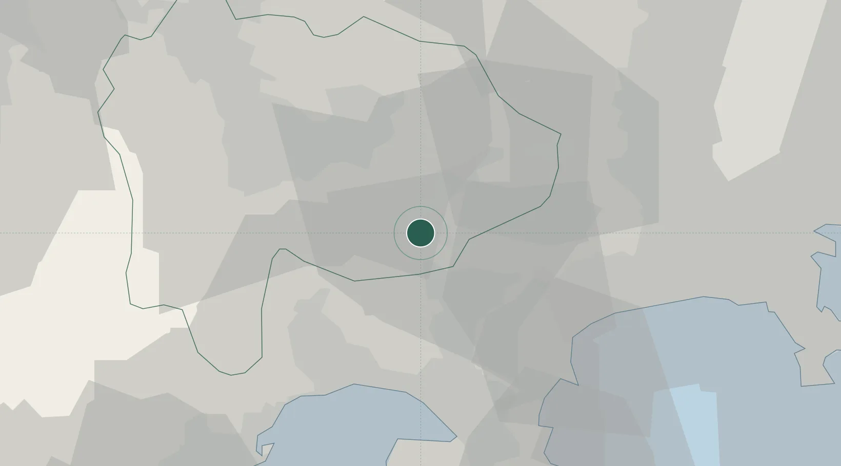
Hub Profile
Place type
Populated place
Region
Yamanashi
Population
9,710
Time zone
Asia/Tokyo
Elevation
945 m
Location
Nearby Logistics Neighbours
Cities
- 1Otsuki19 km
- 2Nakamichi27 km
- 3Yamanashi30 km
- 4Minami Alps-Shi37 km
- 5Kai37 km
Ports
- 1Tagonoura Ko37 km
- 2Shimizu Ko57 km
- 3Yokohama Ko68 km
- 4Yokosuka Ko78 km
- 5Uraga Ko84 km
Airports
- 1JMSDF Atsugi Air Base / Naval Air Facility Atsugi56 km
- 2Yokota Air Base57 km
- 3Chofu Airport68 km
- 4Iruma Air Base68 km
- 5JASDF Shizuhama Air Base86 km
DatabookThe Record of Consolidated Knowledge
Japan beyond logistics?