UN/LOCODE hub · Japan
JPAPS

Minami Alps-Shi

35.6353°, 138.5002°
1
Transport functions

Transport Functions

Multimodal
UN/LOCODE

Hub Profile

Region
19
GeoNames
Logistics facilities
1
UN/LOCODE

Location

Location of JPAPS
Natural Earth 10m (public domain) · 19 · JPAPS · 35.64, 138.50GoogleOSMYandex

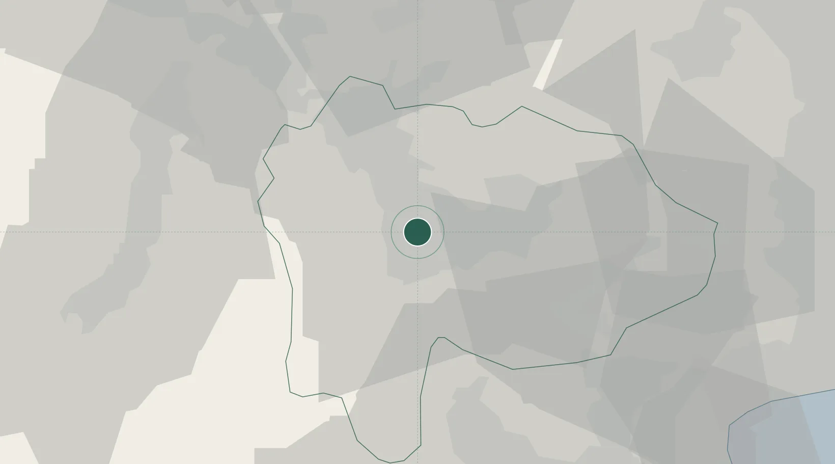
Nearby Logistics Neighbours

Cities
  1. 1Kai4 km
  2. 2Nakamichi10 km
  3. 3Yamanashi16 km
  4. 4Oshino37 km
  5. 5Otsuki39 km
Nearest neighbours — logibook spatial index (haversine) over the source coordinates
Ports
  1. 1Tagonoura Ko59 km
  2. 2Shimizu Ko69 km
  3. 3Yokohama Ko100 km
  4. 4Yokosuka Ko113 km
  5. 5Tokyo Ko113 km
Nearest neighbours — logibook spatial index (haversine) over the source coordinates
Airports
  1. 1Yokota Air Base78 km
  2. 2Shinshu-Matsumoto Airport79 km
  3. 3Iruma Air Base85 km
  4. 4JMSDF Atsugi Air Base / Naval Air Facility Atsugi88 km
  5. 5Chofu Airport93 km
Nearest neighbours — logibook spatial index (haversine) over the source coordinates
DatabookThe Record of Consolidated Knowledge
Japan beyond logistics?
Browse databook

All Sources

LocationsUN/LOCODE
UN/LOCODE — free
Portsthe NGA World Port Index
Public domain (US gov)
AirportsOurAirports
Public domain
Trade Zonesthe World Bank SEZ database
CC BY 4.0
Trade ZonesOpen Zone Map
CC BY
← Japan locations