Transport Functions
Port
Road
Multimodal
Hub Profile
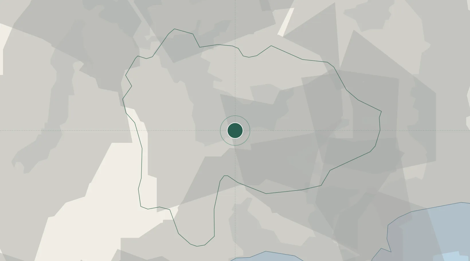
Place type
Locality
Region
Saitama
Time zone
Asia/Tokyo
Elevation
13 m
Location
Nearby Logistics Neighbours
Cities
- 1Minami Alps-Shi10 km
- 2Kai11 km
- 3Yamanashi13 km
- 4Oshino27 km
- 5Otsuki32 km
Ports
- 1Tagonoura Ko51 km
- 2Shimizu Ko64 km
- 3Yokohama Ko92 km
- 4Yokosuka Ko104 km
- 5Tokyo Ko106 km
Airports
- 1Yokota Air Base72 km
- 2JMSDF Atsugi Air Base / Naval Air Facility Atsugi80 km
- 3Iruma Air Base80 km
- 4Chofu Airport86 km
- 5Shinshu-Matsumoto Airport88 km
DatabookThe Record of Consolidated Knowledge
Japan beyond logistics?