Transport Functions
Multimodal
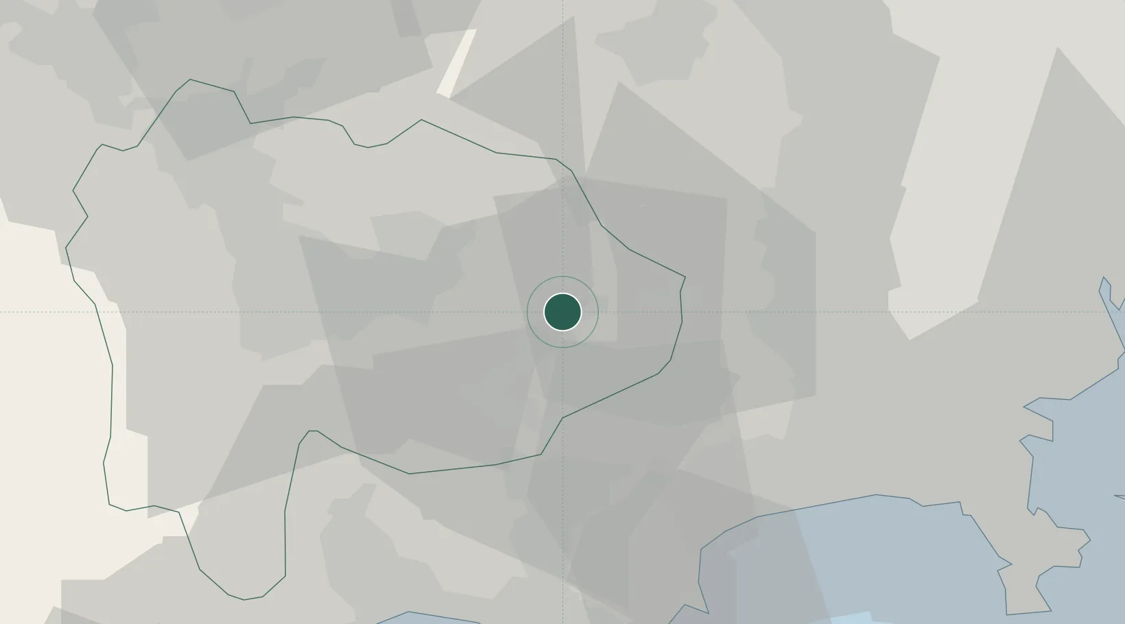
Hub Profile
Place type
Provincial seat
Region
Yamanashi
Population
23,976
Time zone
Asia/Tokyo
Elevation
360 m
Location
Nearby Logistics Neighbours
Ports
- 1Tagonoura Ko56 km
- 2Yokohama Ko61 km
- 3Tokyo Ko74 km
- 4Yokosuka Ko75 km
- 5Shimizu Ko76 km
Airports
DatabookThe Record of Consolidated Knowledge
Japan beyond logistics?