Transport Functions
Multimodal
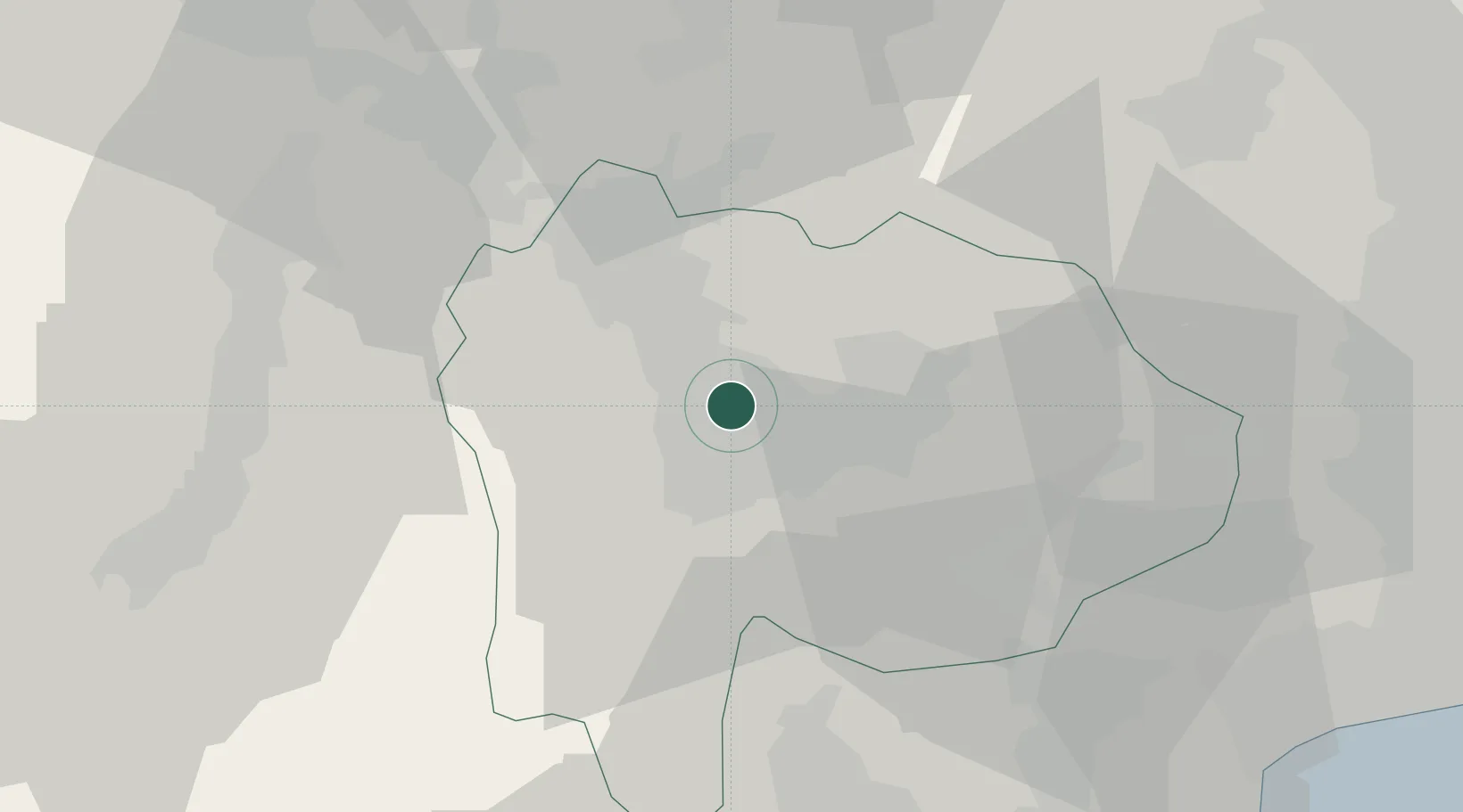
Hub Profile
Place type
Provincial seat
Region
Yamanashi
Population
75,313
Time zone
Asia/Tokyo
Elevation
340 m
Location
Nearby Logistics Neighbours
Cities
- 1Minami Alps-Shi4 km
- 2Nakamichi11 km
- 3Yamanashi14 km
- 4Oshino37 km
- 5Otsuki38 km
Ports
- 1Tagonoura Ko62 km
- 2Shimizu Ko72 km
- 3Yokohama Ko100 km
- 4Tokyo Ko111 km
- 5Yokosuka Ko113 km
Airports
- 1Yokota Air Base76 km
- 2Shinshu-Matsumoto Airport77 km
- 3Iruma Air Base83 km
- 4JMSDF Atsugi Air Base / Naval Air Facility Atsugi88 km
- 5Chofu Airport91 km
DatabookThe Record of Consolidated Knowledge
Japan beyond logistics?