Transport Functions
Port
Rail
Road
Hub Profile
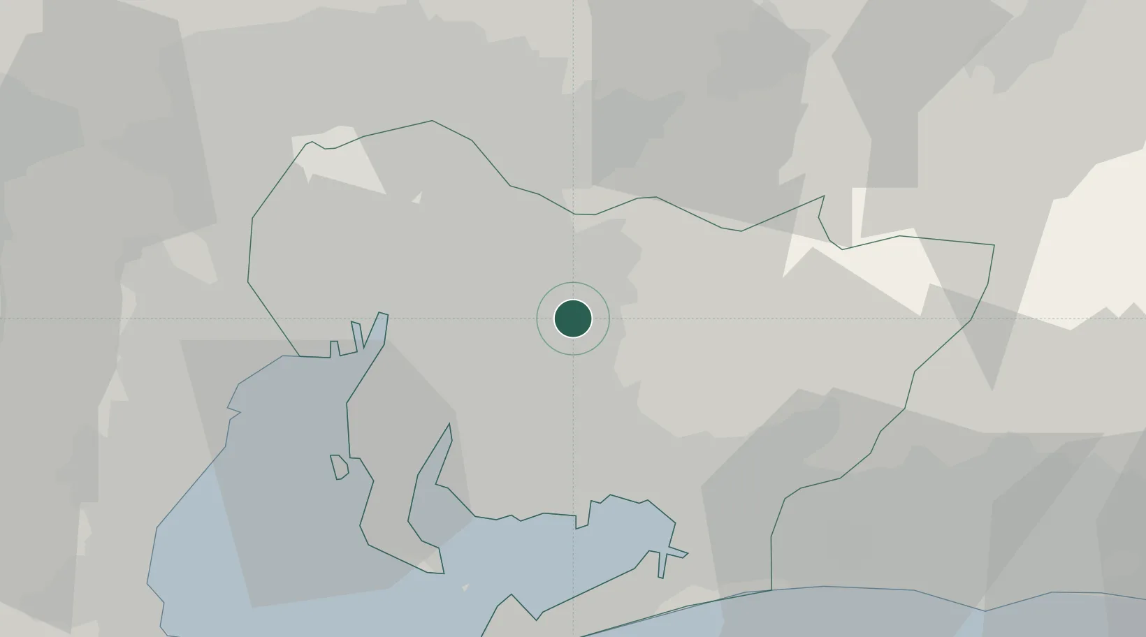
Place type
Provincial seat
Region
Aichi
Population
426,162
Time zone
Asia/Tokyo
Elevation
55 m
Location
Nearby Logistics Neighbours
Cities
- 1Nisshin13 km
- 2Chiryu14 km
- 3Okazaki15 km
- 4Nagakute, Aichi17 km
- 5Owariasahi18 km
Ports
- 1Nagoya Ko27 km
- 2Gamagori Ko30 km
- 3Kinuura Ko33 km
- 4Mikawa43 km
- 5Atsumi47 km
Airports
DatabookThe Record of Consolidated Knowledge
Japan beyond logistics?