UN/LOCODE hub · Japan
JPOQK

Nagakute, Aichi

35.1833°, 137.0333°
1
Transport functions

Transport Functions

Multimodal
UN/LOCODE

Hub Profile

Region
23
GeoNames

Location

Location of JPOQK
Natural Earth 10m (public domain) · 23 · JPOQK · 35.18, 137.03GoogleOSMYandex

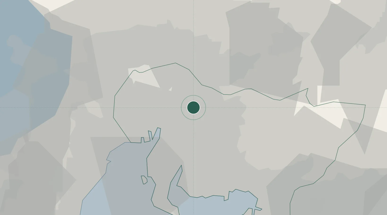
Nearby Logistics Neighbours

Cities
  1. 1Owariasahi2 km
  2. 2Nisshin7 km
  3. 3Toyoyama, Aichi13 km
  4. 4Toyota17 km
  5. 5Kitanagoya18 km
Nearest neighbours — logibook spatial index (haversine) over the source coordinates
Ports
  1. 1Nagoya Ko20 km
  2. 2Kinuura Ko38 km
  3. 3Yokkaichi44 km
  4. 4Gamagori Ko44 km
  5. 5Mikawa57 km
Nearest neighbours — logibook spatial index (haversine) over the source coordinates
Airports
  1. 1Nagoya Airport / JASDF Komaki Air Base13 km
  2. 2Gifu Airport28 km
  3. 3Chubu Centrair International Airport42 km
  4. 4JASDF Hamamatsu Air Base78 km
  5. 5Mount Fuji Shizuoka Airport114 km
Nearest neighbours — logibook spatial index (haversine) over the source coordinates
DatabookThe Record of Consolidated Knowledge
Japan beyond logistics?
Browse databook

All Sources

LocationsUN/LOCODE
UN/LOCODE — free
Portsthe NGA World Port Index
Public domain (US gov)
AirportsOurAirports
Public domain
Trade Zonesthe World Bank SEZ database
CC BY 4.0
Trade ZonesOpen Zone Map
CC BY
← Japan locations