Transport Functions
Port
Multimodal
Hub Profile
Place type
Provincial seat
Region
Aichi
Population
72,193
Time zone
Asia/Tokyo
Elevation
15 m
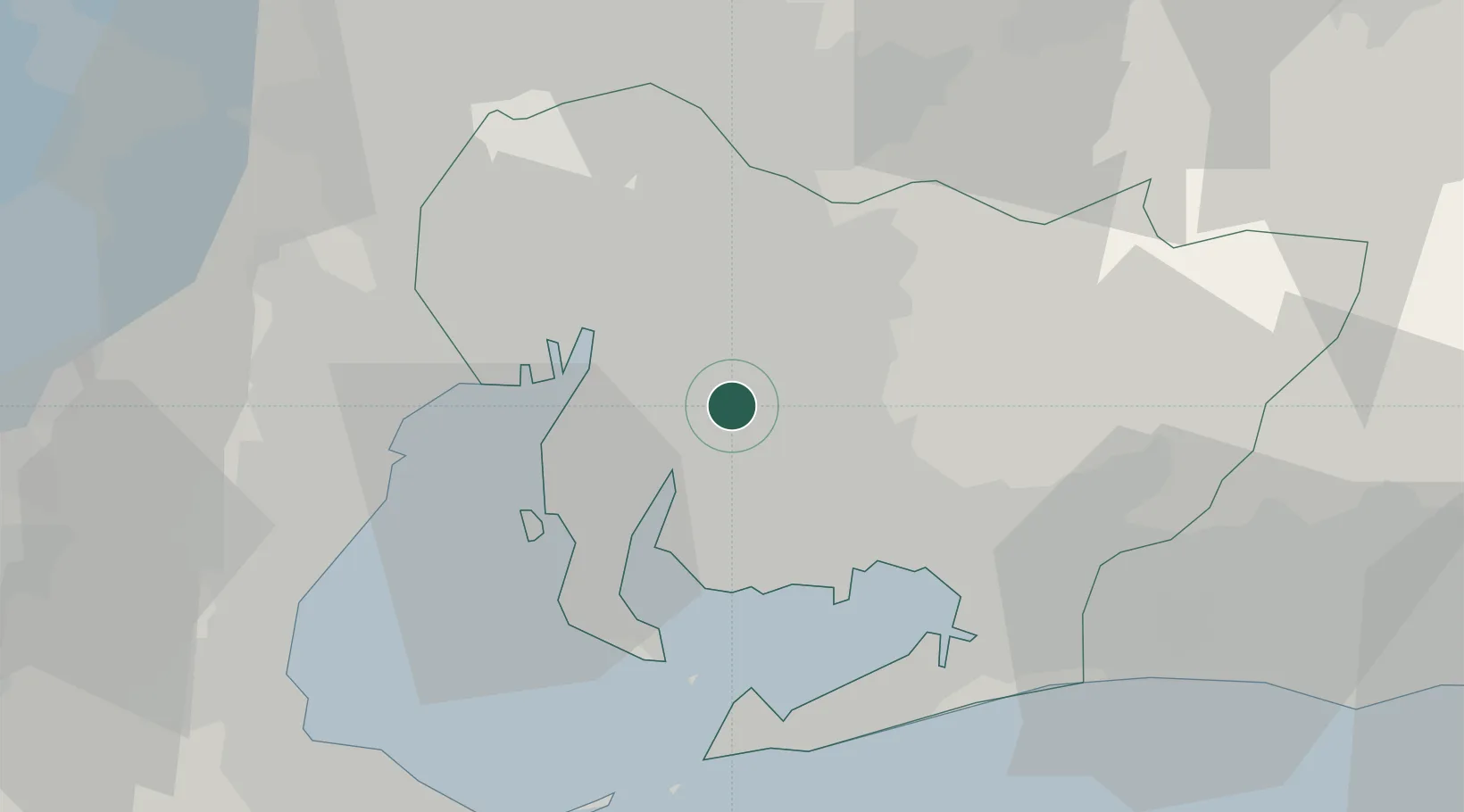
Location
Nearby Logistics Neighbours
Cities
- 1Kariya, Aichi6 km
- 2Obu8 km
- 3Higashiura8 km
- 4Okazaki12 km
- 5Nisshin13 km
Ports
- 1Nagoya Ko18 km
- 2Kinuura Ko19 km
- 3Gamagori Ko25 km
- 4Atsumi37 km
- 5Yokkaichi38 km
Airports
DatabookThe Record of Consolidated Knowledge
Japan beyond logistics?