Transport Functions
Multimodal
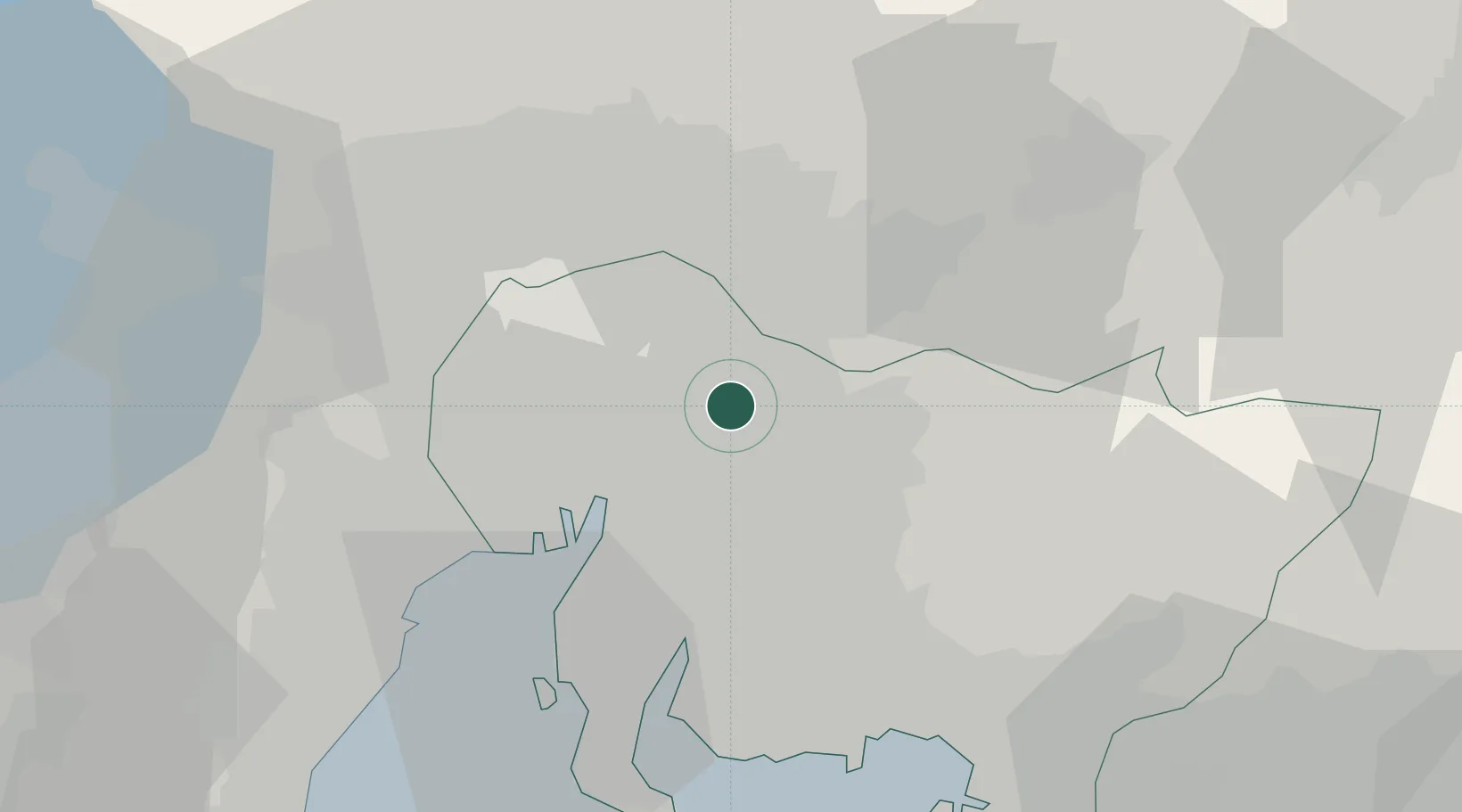
Hub Profile
Place type
Populated place
Region
Aichi
Population
83,144
Time zone
Asia/Tokyo
Elevation
48 m
Location
Nearby Logistics Neighbours
Cities
- 1Nagakute, Aichi2 km
- 2Nisshin9 km
- 3Toyoyama, Aichi12 km
- 4Kitanagoya17 km
- 5Iwakura Aichi18 km
Ports
- 1Nagoya Ko21 km
- 2Kinuura Ko40 km
- 3Yokkaichi45 km
- 4Gamagori Ko46 km
- 5Mikawa59 km
Airports
DatabookThe Record of Consolidated Knowledge
Japan beyond logistics?