Transport Functions
Multimodal
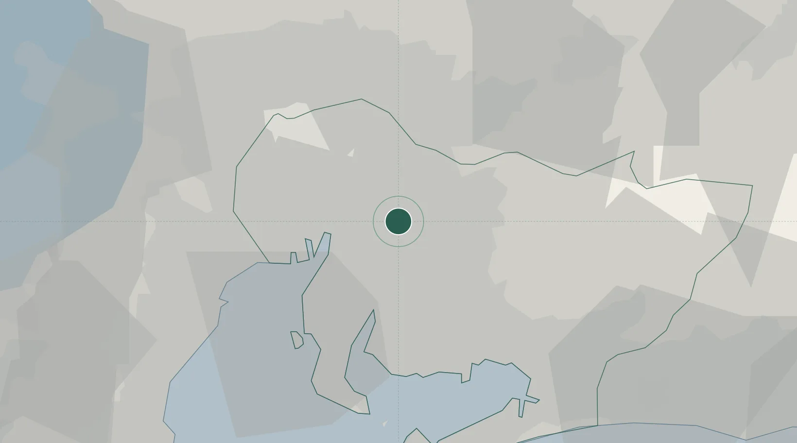
Hub Profile
Place type
Provincial seat
Region
Aichi
Population
91,795
Time zone
Asia/Tokyo
Elevation
45 m
Location
Nearby Logistics Neighbours
Cities
- 1Nagakute, Aichi7 km
- 2Owariasahi9 km
- 3Obu13 km
- 4Toyota13 km
- 5Chiryu13 km
Ports
- 1Nagoya Ko16 km
- 2Kinuura Ko31 km
- 3Gamagori Ko37 km
- 4Yokkaichi40 km
- 5Atsumi50 km
Airports
DatabookThe Record of Consolidated Knowledge
Japan beyond logistics?