Transport Functions
Multimodal
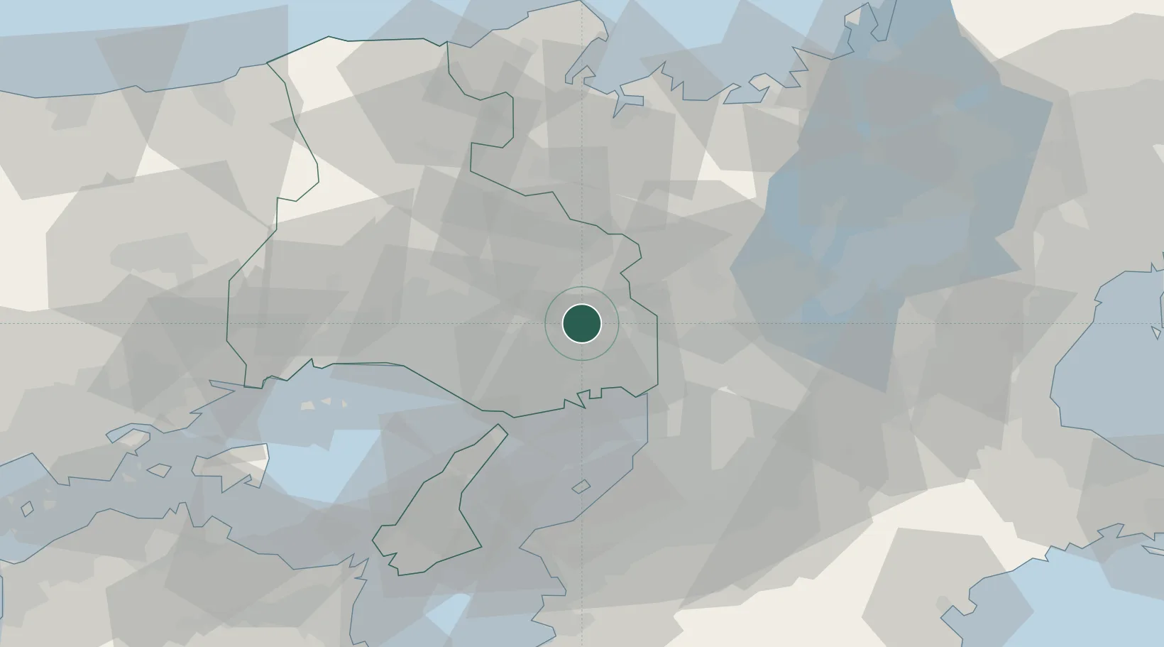
Hub Profile
Place type
Provincial seat
Region
Hyōgo
Time zone
Asia/Tokyo
Elevation
204 m
Location
Nearby Logistics Neighbours
Cities
- 1Ashiya, Hyogo18 km
- 2Itami/Hyogo19 km
- 3Nada-Ku, Hyogo20 km
- 4Sasayama20 km
- 5Minoo22 km
Ports
- 1Amagasaki25 km
- 2Kobe26 km
- 3Osaka32 km
- 4Sakai-Senboku41 km
- 5Higashi-Harima42 km
Airports
- 1Osaka Itami International Airport22 km
- 2Kobe Airport28 km
- 3Yao Airport47 km
- 4Kansai International Airport51 km
- 5Konotori Tajima Airport81 km
Trade Zones
- 1Kansai Innovation International Strategic Comprehensive Special Zone32 km
- 2Rinku Town Izumisano City Area Regional Revitalization Comprehensive Special Zone54 km
- 3Kyoto City Regional Revitalization Comprehensive Special Zone55 km
- 4Nara Park Tourist Area Revitalization Comprehensive Special Zone60 km
- 5Lake Biwa Southern Area New Industry Creation Special Zone62 km
DatabookThe Record of Consolidated Knowledge
Japan beyond logistics?