Transport Functions
Port
Road
Hub Profile
Place type
Urban district
Region
Tokyo
Time zone
Asia/Tokyo
Elevation
97 m
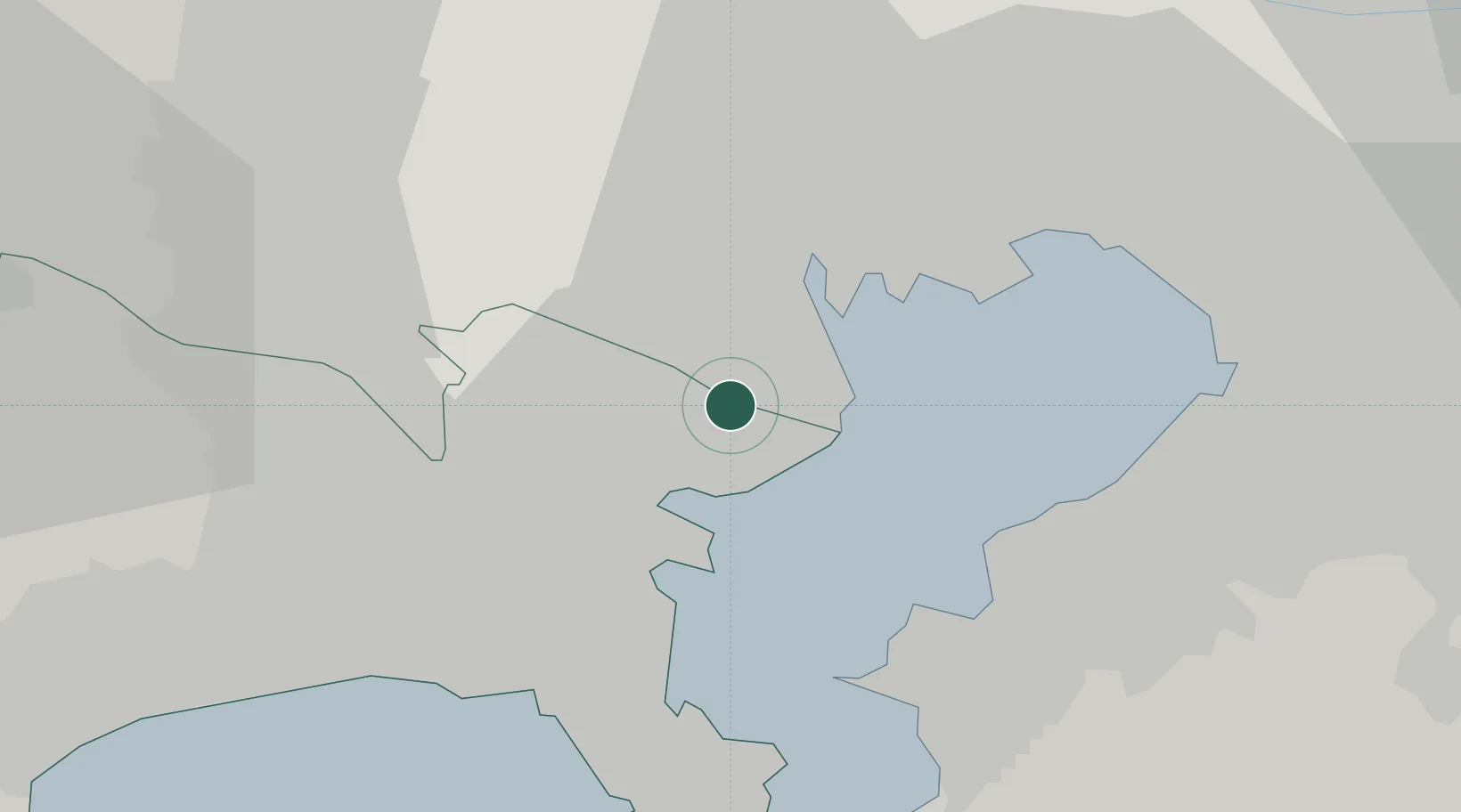
Location
Nearby Logistics Neighbours
Cities
- 1Ota-Ku4 km
- 2Tsurumi-Ku5 km
- 3Kawasaki7 km
- 4Shinagawa, Tokyo8 km
- 5Yokohama11 km
Ports
- 1Kawasaki Ko7 km
- 2Yokohama Ko14 km
- 3Tokyo Ko16 km
- 4Kisarazu Ko25 km
- 5Funabashi27 km
Airports
Trade Zones
DatabookThe Record of Consolidated Knowledge
Japan beyond logistics?