UN/LOCODE hub · Japan
JPZAD

Ota-Ku

35.5667°, 139.7167°
1
Transport functions

Transport Functions

Multimodal
UN/LOCODE

Hub Profile

Region
13
GeoNames

Location

Location of JPZAD
Natural Earth 10m (public domain) · 13 · JPZAD · 35.57, 139.72GoogleOSMYandex

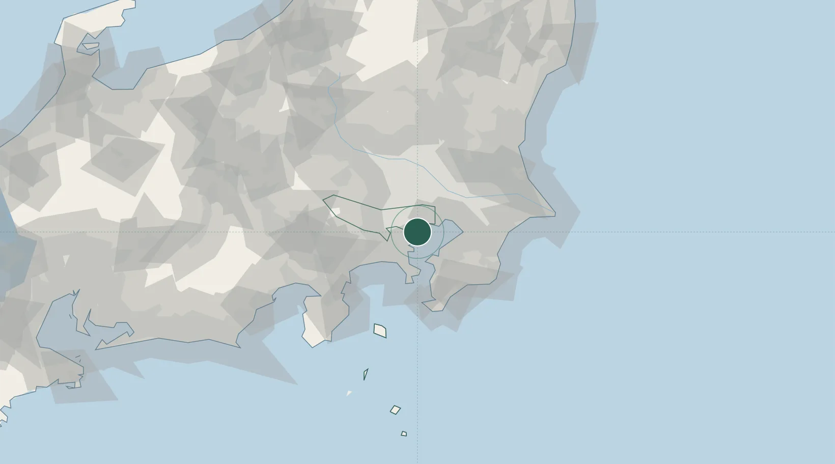
Nearby Logistics Neighbours

Cities
  1. 1Shinagawa, Tokyo4 km
  2. 2Asahimachi4 km
  3. 3Tokyo7 km
  4. 4Minato-Ku, Tokyo7 km
  5. 5Meguro8 km
Nearest neighbours — logibook spatial index (haversine) over the source coordinates
Ports
  1. 1Kawasaki Ko9 km
  2. 2Tokyo Ko12 km
  3. 3Yokohama Ko18 km
  4. 4Funabashi24 km
  5. 5Kisarazu Ko27 km
Nearest neighbours — logibook spatial index (haversine) over the source coordinates
Airports
  1. 1Tokyo Haneda International Airport7 km
  2. 2Chofu Airport21 km
  3. 3JGSDF Kisarazu Airfield26 km
  4. 4JMSDF Atsugi Air Base / Naval Air Facility Atsugi27 km
  5. 5JMSDF Shimofusa Air Base37 km
Nearest neighbours — logibook spatial index (haversine) over the source coordinates
DatabookThe Record of Consolidated Knowledge
Japan beyond logistics?
Browse databook

All Sources

LocationsUN/LOCODE
UN/LOCODE — free
Portsthe NGA World Port Index
Public domain (US gov)
AirportsOurAirports
Public domain
Trade Zonesthe World Bank SEZ database
CC BY 4.0
Trade ZonesOpen Zone Map
CC BY
← Japan locations