Transport Functions
Multimodal
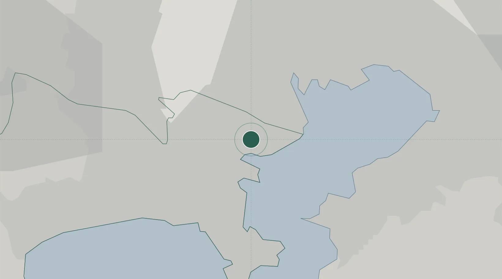
Hub Profile
Region
14
Location
Nearby Logistics Neighbours
Cities
- 1Asahimachi5 km
- 2Yokohama7 km
- 3Yamashitacho8 km
- 4Kawasaki8 km
- 5Ota-Ku9 km
Ports
- 1Kawasaki Ko9 km
- 2Yokohama Ko9 km
- 3Tokyo Ko20 km
- 4Yokosuka Ko24 km
- 5Kisarazu Ko25 km
Airports
Trade Zones
DatabookThe Record of Consolidated Knowledge
Japan beyond logistics?