Transport Functions
Multimodal
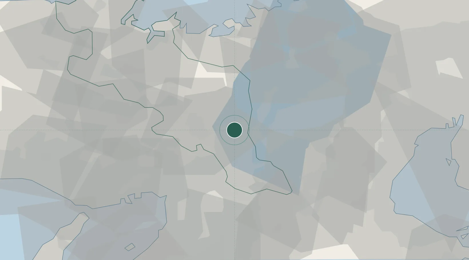
Hub Profile
Region
26
Location
Nearby Logistics Neighbours
Cities
- 1Nagaokakyo10 km
- 2Kameoka17 km
- 3Joyo20 km
- 4Ujitawara21 km
- 5Takatsuki22 km
Ports
- 1Amagasaki49 km
- 2Osaka50 km
- 3Sakai-Senboku59 km
- 4Uchiura60 km
- 5Kobe66 km
Airports
- 1Osaka Itami International Airport39 km
- 2Yao Airport49 km
- 3Kobe Airport64 km
- 4Kansai International Airport80 km
- 5Chubu Centrair International Airport98 km
Trade Zones
- 1Kyoto City Regional Revitalization Comprehensive Special Zone6 km
- 2Lake Biwa Southern Area New Industry Creation Special Zone16 km
- 3Nara Park Tourist Area Revitalization Comprehensive Special Zone38 km
- 4Kansai Innovation International Strategic Comprehensive Special Zone44 km
- 5Mie Life Innovation Comprehensive Special Zone47 km
DatabookThe Record of Consolidated Knowledge
Japan beyond logistics?