Transport Functions
Port
Multimodal
Hub Profile
Region
30
Location
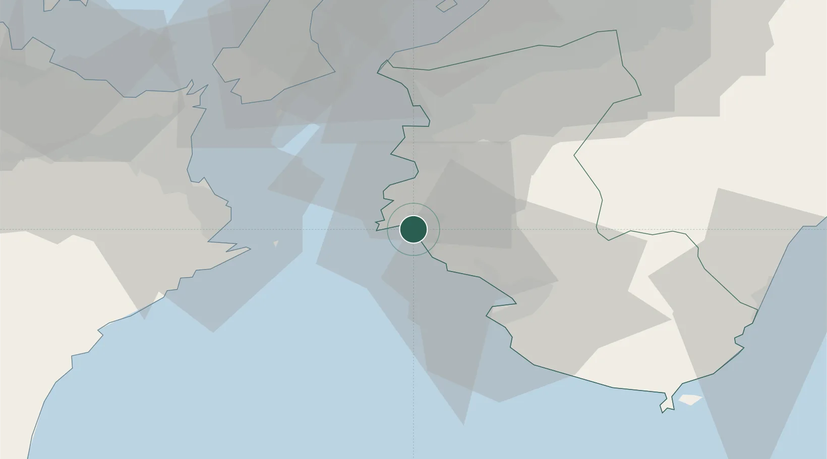
Nearby Logistics Neighbours
Cities
- 1Dejima33 km
- 2Wakayama36 km
- 3Iwade44 km
- 4Kinokawa46 km
- 5Komatsushima50 km
Ports
- 1Yura9 km
- 2Tanabe Ko27 km
- 3Wakayama-Shimotsu Ko35 km
- 4Tachibana45 km
- 5Komatsushima53 km
Airports
Trade Zones
- 1Wakayama Prefecture "Takano Kumano" Cultural and Regional Promotion Comprehensive Special Zone54 km
- 2Awaji Environmental Future Island Special Zone56 km
- 3Rinku Town Izumisano City Area Regional Revitalization Comprehensive Special Zone59 km
- 4Tokushima life innovation Comprehensive Special Zone66 km
- 5Kansai Innovation International Strategic Comprehensive Special Zone95 km
DatabookThe Record of Consolidated Knowledge
Japan beyond logistics?