UN/LOCODE hub · Japan
JPISG

Ishigaki

24.3379°, 124.1489°
47,637
Population
1
Transport functions

Transport Functions

Port
Ishigaki is also a profiled seaport →
UN/LOCODE

Hub Profile

Place type
Provincial seat
GeoNames
Region
Okinawa
GeoNames
Population
47,637
GeoNames
Time zone
Asia/Tokyo
GeoNames
Elevation
18 m
GeoNames
Logistics facilities
1
UN/LOCODE

Location

Location of JPISG
Natural Earth 10m (public domain) · Okinawa · JPISG · 24.34, 124.15GoogleOSMYandex

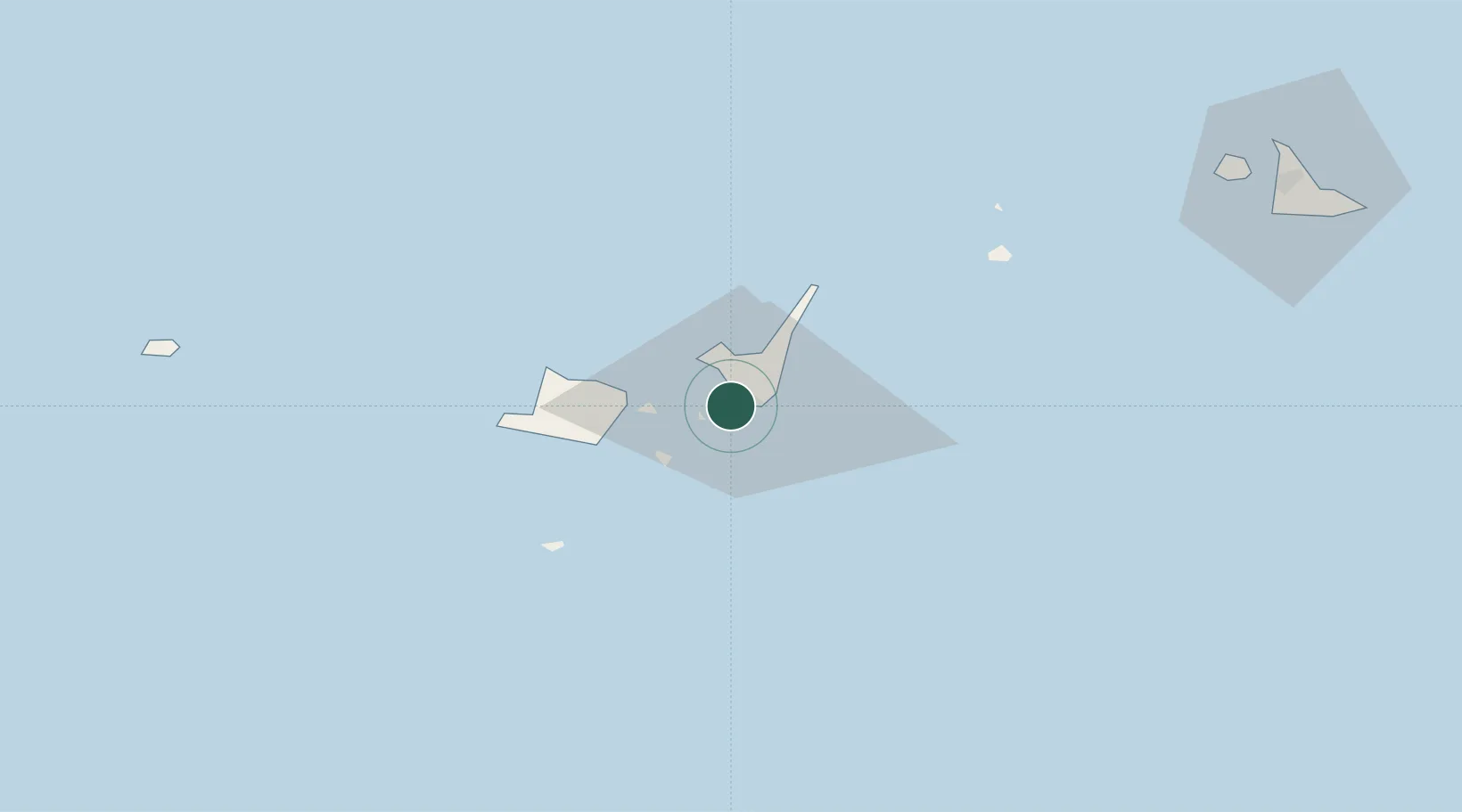
Nearby Logistics Neighbours

Cities
  1. 1Kohama17 km
  2. 2Hatoma41 km
  3. 3Miyakojima127 km
  4. 4Hoping245 km
  5. 5I-lan247 km
Nearest neighbours — logibook spatial index (haversine) over the source coordinates
Ports
  1. 1Hirara Ko126 km
  2. 2Su-Ao233 km
  3. 3Chi-Lung256 km
  4. 4Hua-Lien Kang262 km
  5. 5Tan-Shui293 km
Nearest neighbours — logibook spatial index (haversine) over the source coordinates
Airports
  1. 1New Ishigaki Airport12 km
  2. 2Tarama Airport64 km
  3. 3Shimojishima Airport115 km
  4. 4Yonaguni Airport119 km
  5. 5Miyako Airport126 km
Nearest neighbours — logibook spatial index (haversine) over the source coordinates
Trade Zones
  1. 1Port Of Suao Free Trade Zone233 km
  2. 2Port Of Keelung Free Trade Zone258 km
  3. 3Port Of Taipei Free Trade Zone294 km
  4. 4Taoyuan International Airport Free Trade Zone306 km
  5. 5Taichung Export Processing Zone349 km
Nearest neighbours — logibook spatial index (haversine) over the source coordinates
DatabookThe Record of Consolidated Knowledge
Japan beyond logistics?
Browse databook

All Sources

LocationsUN/LOCODE
UN/LOCODE — free
LocationsGeoNames
CC BY 4.0
Portsthe NGA World Port Index
Public domain (US gov)
AirportsOurAirports
Public domain
Trade Zonesthe World Bank SEZ database
CC BY 4.0
Trade ZonesOpen Zone Map
CC BY
← Japan locations