UN/LOCODE hub · Japan
JPHTO

Hatoma

24.4667°, 123.7667°
1
Transport functions

Transport Functions

Port
UN/LOCODE

Hub Profile

Region
47
GeoNames

Location

Location of JPHTO
Natural Earth 10m (public domain) · 47 · JPHTO · 24.47, 123.77GoogleOSMYandex

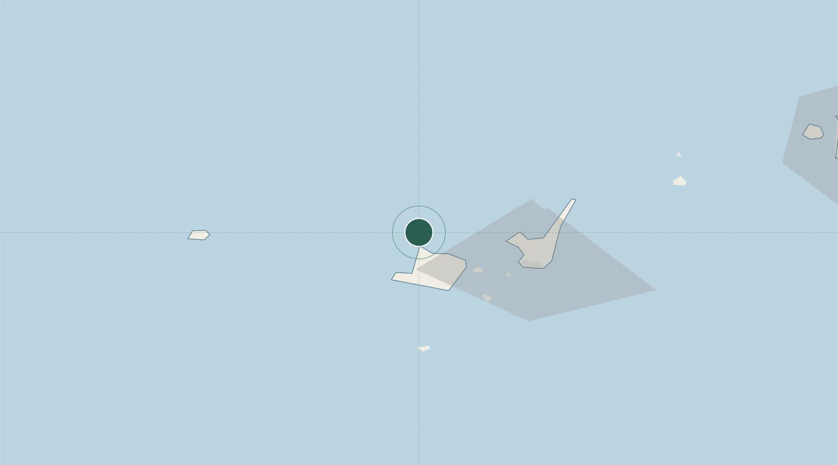
Nearby Logistics Neighbours

Cities
  1. 1Kohama27 km
  2. 2Ishigaki41 km
  3. 3Miyakojima159 km
  4. 4I-lan207 km
  5. 5Hoping207 km
Nearest neighbours — logibook spatial index (haversine) over the source coordinates
Ports
  1. 1Ishigaki43 km
  2. 2Hirara Ko158 km
  3. 3Su-Ao193 km
  4. 4Chi-Lung215 km
  5. 5Hua-Lien Kang226 km
Nearest neighbours — logibook spatial index (haversine) over the source coordinates
Airports
  1. 1New Ishigaki Airport49 km
  2. 2Yonaguni Airport80 km
  3. 3Tarama Airport94 km
  4. 4Shimojishima Airport145 km
  5. 5Miyako Airport158 km
Nearest neighbours — logibook spatial index (haversine) over the source coordinates
Trade Zones
  1. 1Port Of Suao Free Trade Zone193 km
  2. 2Port Of Keelung Free Trade Zone217 km
  3. 3Port Of Taipei Free Trade Zone253 km
  4. 4Taoyuan International Airport Free Trade Zone265 km
  5. 5Taichung Export Processing Zone311 km
Nearest neighbours — logibook spatial index (haversine) over the source coordinates
DatabookThe Record of Consolidated Knowledge
Japan beyond logistics?
Browse databook

All Sources

LocationsUN/LOCODE
UN/LOCODE — free
Portsthe NGA World Port Index
Public domain (US gov)
AirportsOurAirports
Public domain
Trade Zonesthe World Bank SEZ database
CC BY 4.0
Trade ZonesOpen Zone Map
CC BY
← Japan locations