Medium airport · Japan
Tarama AirportRORT
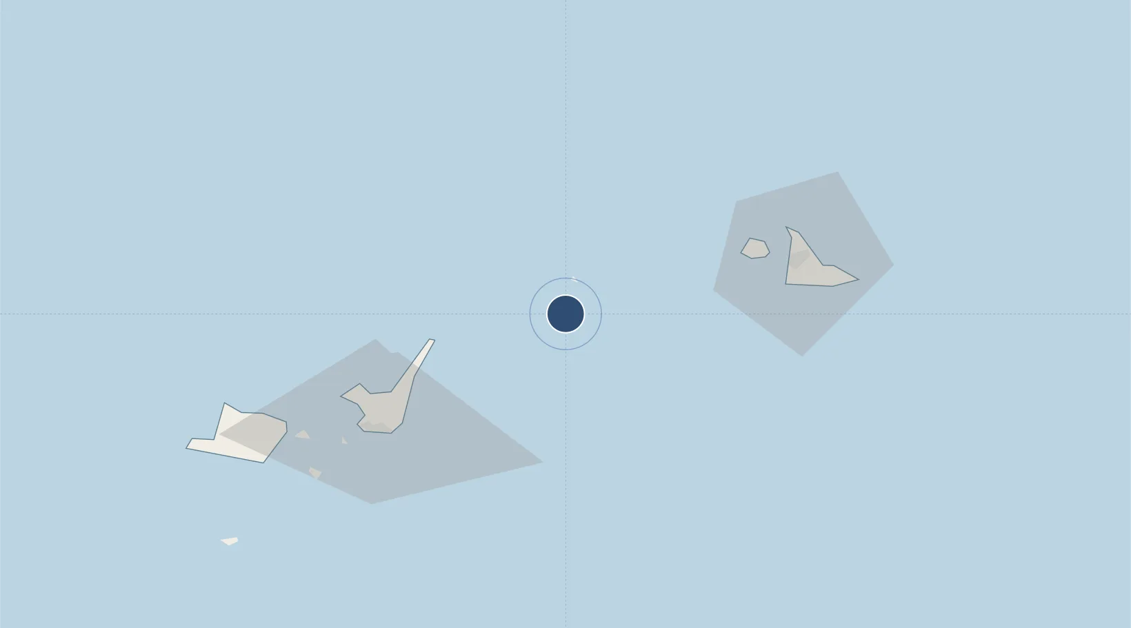
24.6538°, 124.6755°
4,921 ft
Longest runway
1
Runways
36 ft
Elevation
Runway & Layout

Radio Frequencies
A/G
118.6 MHz
REMOTE
Navaids
RME VOR-DME Tarama 110.65 MHz
Runways · 1
| Runway | Dimensions | Surface | True heading | Lit |
|---|---|---|---|---|
| 18/36 | 4,921 × 148ft | Asphalt | 172° | ✓ |
Airport Specifications
IATA code
TRA
ICAO code
RORT
Airport class
Medium airport
Scheduled service
Yes
Runway surface
Asphalt
Served city
Tarama
Location
Nearby Logistics Neighbours
Airports
- 1Shimojishima Airport51 km
- 2New Ishigaki Airport52 km
- 3Miyako Airport64 km
- 4Yonaguni Airport173 km
- 5Kumejima Airport279 km
Cities
- 1Ishigaki64 km
- 2Miyakojima65 km
- 3Kohama79 km
- 4Hatoma94 km
- 5I-lan296 km
Ports
- 1Ishigaki63 km
- 2Hirara Ko64 km
- 3Su-Ao284 km
- 4Chi-Lung298 km
- 5Hua-Lien Kang320 km
DatabookThe Record of Consolidated Knowledge
Japan beyond logistics?