UN/LOCODE hub · Japan
JPKOH

Kohama

24.3333°, 123.9833°
1
Transport functions

Transport Functions

Port
UN/LOCODE

Hub Profile

Place type
Locality
GeoNames
Region
Kagoshima
GeoNames
Time zone
Asia/Tokyo
GeoNames
Elevation
78 m
GeoNames

Location

Location of JPKOH
Natural Earth 10m (public domain) · Kagoshima · JPKOH · 24.33, 123.98GoogleOSMYandex

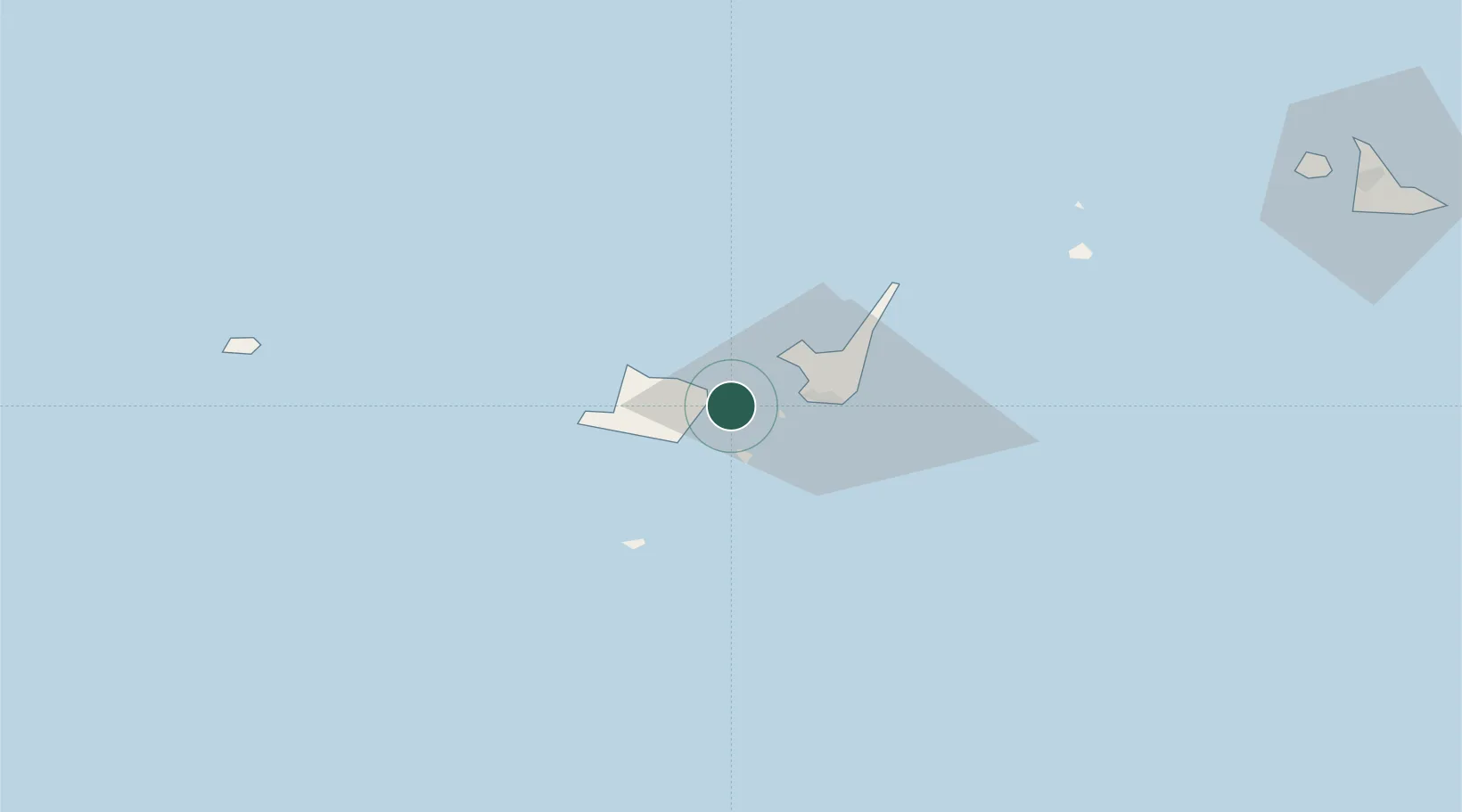
Nearby Logistics Neighbours

Cities
  1. 1Ishigaki17 km
  2. 2Hatoma27 km
  3. 3Miyakojima142 km
  4. 4Hoping228 km
  5. 5I-lan231 km
Nearest neighbours — logibook spatial index (haversine) over the source coordinates
Ports
  1. 1Ishigaki19 km
  2. 2Hirara Ko141 km
  3. 3Su-Ao216 km
  4. 4Chi-Lung241 km
  5. 5Hua-Lien Kang245 km
Nearest neighbours — logibook spatial index (haversine) over the source coordinates
Airports
  1. 1New Ishigaki Airport27 km
  2. 2Tarama Airport79 km
  3. 3Yonaguni Airport103 km
  4. 4Shimojishima Airport130 km
  5. 5Miyako Airport142 km
Nearest neighbours — logibook spatial index (haversine) over the source coordinates
Trade Zones
  1. 1Port Of Suao Free Trade Zone216 km
  2. 2Port Of Keelung Free Trade Zone243 km
  3. 3Port Of Taipei Free Trade Zone278 km
  4. 4Taoyuan International Airport Free Trade Zone290 km
  5. 5Taichung Export Processing Zone333 km
Nearest neighbours — logibook spatial index (haversine) over the source coordinates
DatabookThe Record of Consolidated Knowledge
Japan beyond logistics?
Browse databook

All Sources

LocationsUN/LOCODE
UN/LOCODE — free
Portsthe NGA World Port Index
Public domain (US gov)
AirportsOurAirports
Public domain
Trade Zonesthe World Bank SEZ database
CC BY 4.0
Trade ZonesOpen Zone Map
CC BY
← Japan locations