Medium airport · Japan
Miyako AirportROMY
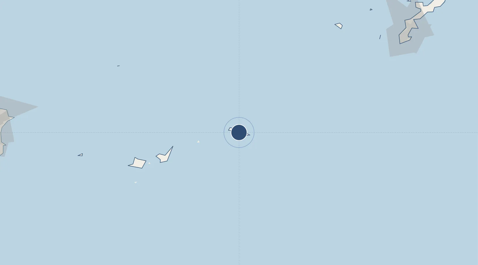
24.7828°, 125.2950°
6,560 ft
Longest runway
1
Runways
150 ft
Elevation
Runway & Layout

Radio Frequencies
TWR
118.2 MHz
APP
120.3 MHz
SHIMOJI APP
Navaids
MY NDB Miyako Jima 340 kHz
MYC VORTAC Miyako Jima 117.50 MHz
Runways · 1
| Runway | Dimensions | Surface | True heading | Lit |
|---|---|---|---|---|
| 04/22 | 6,560 × 150ft | Asphalt | 038° | ✓ |
Airport Specifications
IATA code
MMY
ICAO code
ROMY
Airport class
Medium airport
Scheduled service
Yes
Runway surface
Asphalt
Served city
Miyakojima
Location
Nearby Logistics Neighbours
Airports
- 1Shimojishima Airport16 km
- 2Tarama Airport64 km
- 3New Ishigaki Airport115 km
- 4Kumejima Airport226 km
- 5Yonaguni Airport237 km
Cities
- 1Miyakojima1 km
- 2Ishigaki126 km
- 3Kohama142 km
- 4Hatoma158 km
- 5Tomigusuku, Okinawa285 km
Ports
- 1Hirara Ko2 km
- 2Ishigaki125 km
- 3Naha Ko288 km
- 4Nishihara298 km
- 5Nakagusuku311 km
DatabookThe Record of Consolidated Knowledge
Japan beyond logistics?