Transport Functions
Port
Airport
Hub Profile
Place type
Provincial seat
Region
Okinawa
Population
54,908
Time zone
Asia/Tokyo
Elevation
36 m
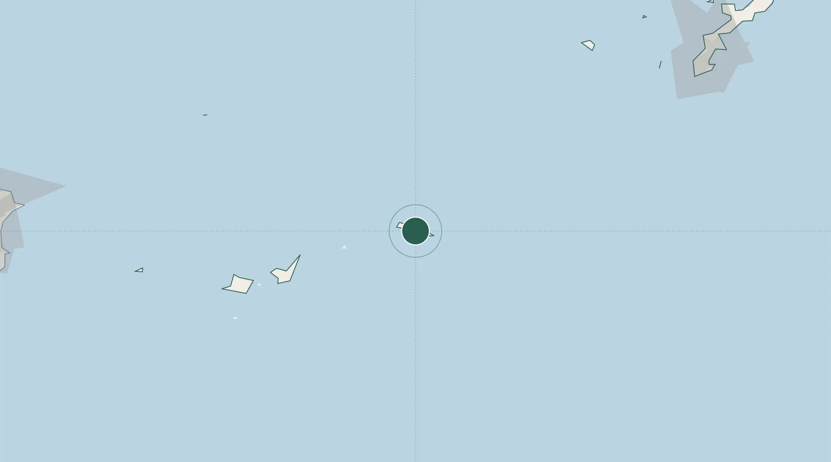
Location
Nearby Logistics Neighbours
Cities
- 1Ishigaki127 km
- 2Kohama142 km
- 3Hatoma159 km
- 4Tomigusuku, Okinawa284 km
- 5Naha, Okinawa288 km
Ports
- 1Hirara Ko3 km
- 2Ishigaki125 km
- 3Naha Ko287 km
- 4Nishihara297 km
- 5Nakagusuku310 km
Airports
- 1Miyako Airport1 km
- 2Shimojishima Airport16 km
- 3Tarama Airport65 km
- 4New Ishigaki Airport115 km
- 5Kumejima Airport226 km
DatabookThe Record of Consolidated Knowledge
Japan beyond logistics?