UN/LOCODE hub · Japan
JPTKH

Takahama/Amakusa

32.3667°, 130.0000°
2
Transport functions

Transport Functions

Port
Road
UN/LOCODE

Hub Profile

Region
43
GeoNames

Location

Location of JPTKH
Natural Earth 10m (public domain) · 43 · JPTKH · 32.37, 130.00GoogleOSMYandex

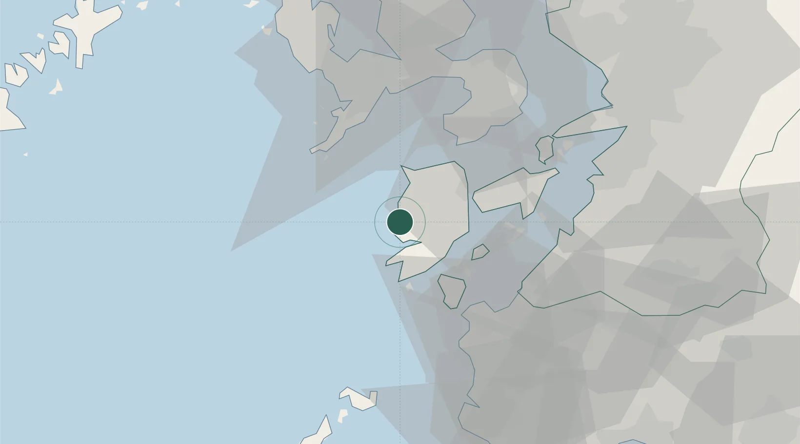
Nearby Logistics Neighbours

Cities
  1. 1Higashisonogi-Gun Cho38 km
  2. 2Nagasaki40 km
  3. 3Izumi46 km
  4. 4Yatsushiro56 km
  5. 5Satsumasendai59 km
Nearest neighbours — logibook spatial index (haversine) over the source coordinates
Ports
  1. 1Minamata Ko41 km
  2. 2Nagasaki41 km
  3. 3Misumi Ko51 km
  4. 4Yatsushiro Ko52 km
  5. 5Matsu-Shima73 km
Nearest neighbours — logibook spatial index (haversine) over the source coordinates
Airports
  1. 1Amakusa Airport20 km
  2. 2Nagasaki Airport62 km
  3. 3Kyushu Saga International Airport92 km
  4. 4Kagoshima Airport92 km
  5. 5Kumamoto Airport96 km
Nearest neighbours — logibook spatial index (haversine) over the source coordinates
DatabookThe Record of Consolidated Knowledge
Japan beyond logistics?
Browse databook

All Sources

LocationsUN/LOCODE
UN/LOCODE — free
Portsthe NGA World Port Index
Public domain (US gov)
AirportsOurAirports
Public domain
Trade Zonesthe World Bank SEZ database
CC BY 4.0
Trade ZonesOpen Zone Map
CC BY
← Japan locations