Seaport · Japan
NagasakiJPNGS
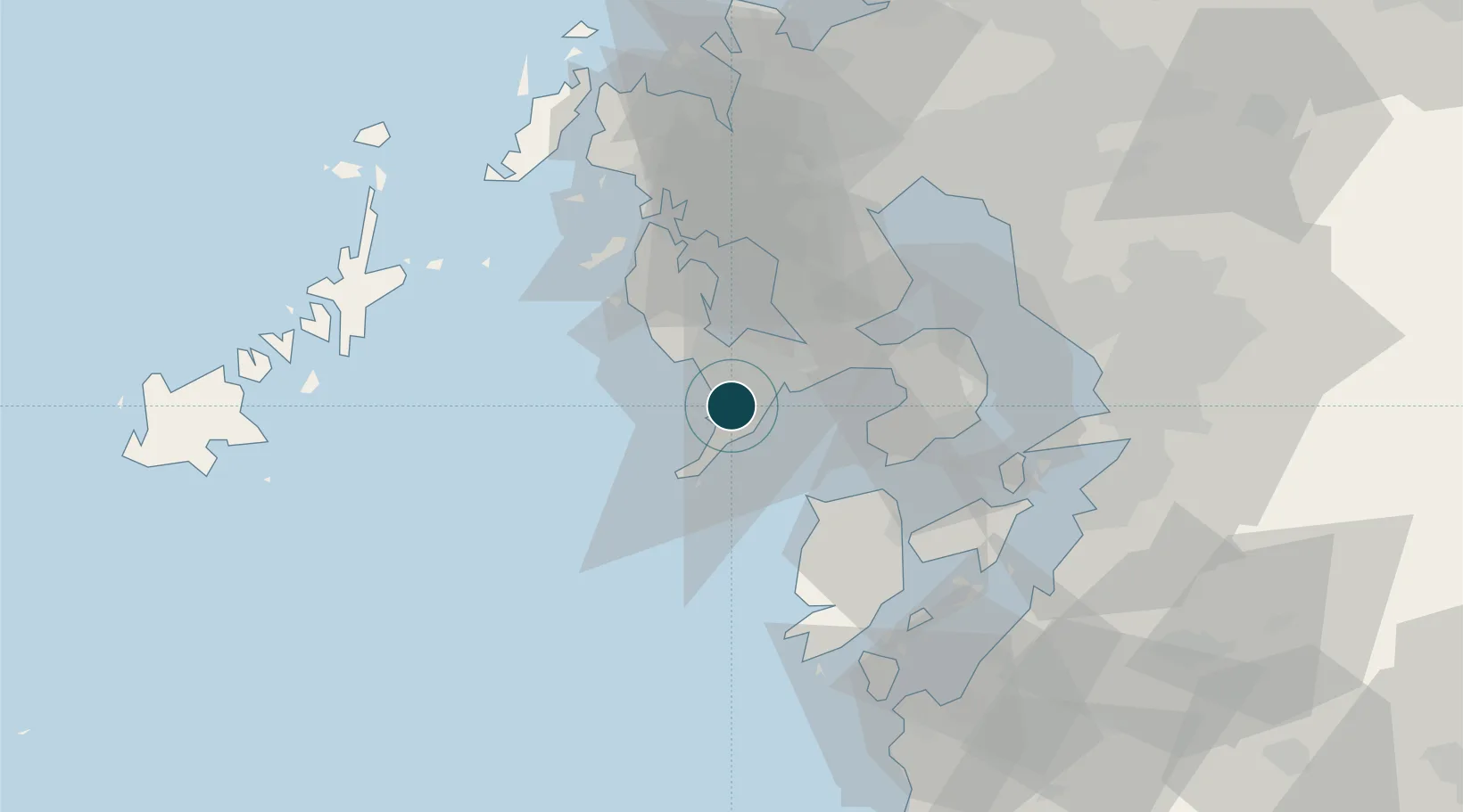
32.7167°, 129.8500°
12.5 m
Channel depth
1
Container terminals
10.3
Port liner connectivity
Channel & Berth Profile
Pilotage, Tugs & Services
Pilotage compulsoryNO
Pilotage availableYES
Pilotage advisableYES
Tug assistanceYES
Shore powerYES
Potable waterYES
MedicalYES
Garbage disposalYES
Facilities & Capabilities
Container—
Ro-Ro—
Liquid bulk—
Dry bulk—
Oil terminal—
Break bulk—
Dry dockNO
RepairsNO
BunkeringYES
Rail link—
Dangerous cargo—
ISPS security—
Harbour Specifications
Harbour size
Large
Harbour type
Coastal (Natural)
Shelter
Fair
Water body
East China Sea; North Pacific Ocean
Tidal range
3 m
Overhead limit
Yes
Pilotage
No
Liner Connectivity
10.3
PLSCI
Port Liner Shipping Connectivity Index for Nagasaki, as published by UNCTAD for the latest available quarter. Higher values indicate stronger scheduled liner-shipping integration.
Shown relative to the highest per-port PLSCI in the dataset (1,657.9).
Location
Container Terminals · 1
NAGASAKI KOGAKURA-YANAGI CONTAINER TERMINAL
KY14C NAGASAKI PORT AUTHORITY
Nearby Logistics Neighbours
Ports
- 1Matsu-Shima34 km
- 2Sasebo52 km
- 3Misumi Ko59 km
- 4Miike Ko62 km
- 5Imari63 km
Cities
- 1Saikai31 km
- 2Seto32 km
- 3Takahama/Amakusa41 km
- 4Ôshima, Nagasaki45 km
- 5Ureshino Saga48 km
Airports
- 1Nagasaki Airport23 km
- 2Amakusa Airport39 km
- 3Kyushu Saga International Airport64 km
- 4Kumamoto Airport95 km
- 5Fukue Airport95 km
DatabookThe Record of Consolidated Knowledge
Japan beyond logistics?