Large airport · Japan
Kadena Air BaseRODN
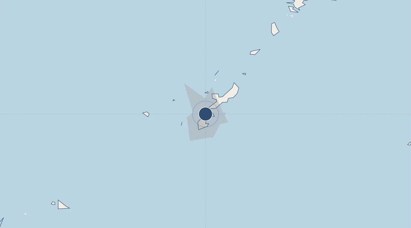
26.3517°, 127.7694°
12,100 ft
Longest runway
2
Runways
143 ft
Elevation
Runway & Layout

Radio Frequencies
ATIS
124.2 MHz
TWR
126.2 MHz
GND
118.5 MHz
GND CTL
CLD
123.3 MHz
CLNC DEL
A/D
33.58 MHz
OKINAWA APP/DEP
MISC
128 MHz
AIR MOBILIY CTRL CTR
OPS
26.6 MHz
BASE OPS
PMSV
34.46 MHz
METRO
POST
31.1 MHz
18 WG COMD POST
PTD
131.4 MHz
Navaids
KAD VORTAC Kadena 112.00 MHz
Runways · 2
| Runway | Dimensions | Surface | True heading | Lit |
|---|---|---|---|---|
| 05L/23R | 12,100 × 300ft | Asphalt | 051° | ✓ |
| 05R/23L | 12,100 × 200ft | Concrete | 051° | ✓ |
Airport Specifications
IATA code
DNA
ICAO code
RODN
Airport class
Large airport
Scheduled service
No
Runway surface
Asphalt
Served city
Okinawa
Location
Nearby Logistics Neighbours
Airports
- 1Futenma Marine Corps Air Station9 km
- 2Naha International Airport22 km
- 3Iejima Airport41 km
- 4Aguni Airport59 km
- 5Yoron Airport99 km
Ports
- 1Kin Wan15 km
- 2Nishihara15 km
- 3Naha Ko17 km
- 4Nakagusuku18 km
- 5Hirara Ko303 km
DatabookThe Record of Consolidated Knowledge
Japan beyond logistics?