Transport Functions
Port
Hub Profile
Place type
Populated place
Region
Okinawa
Population
65,251
Time zone
Asia/Tokyo
Elevation
61 m
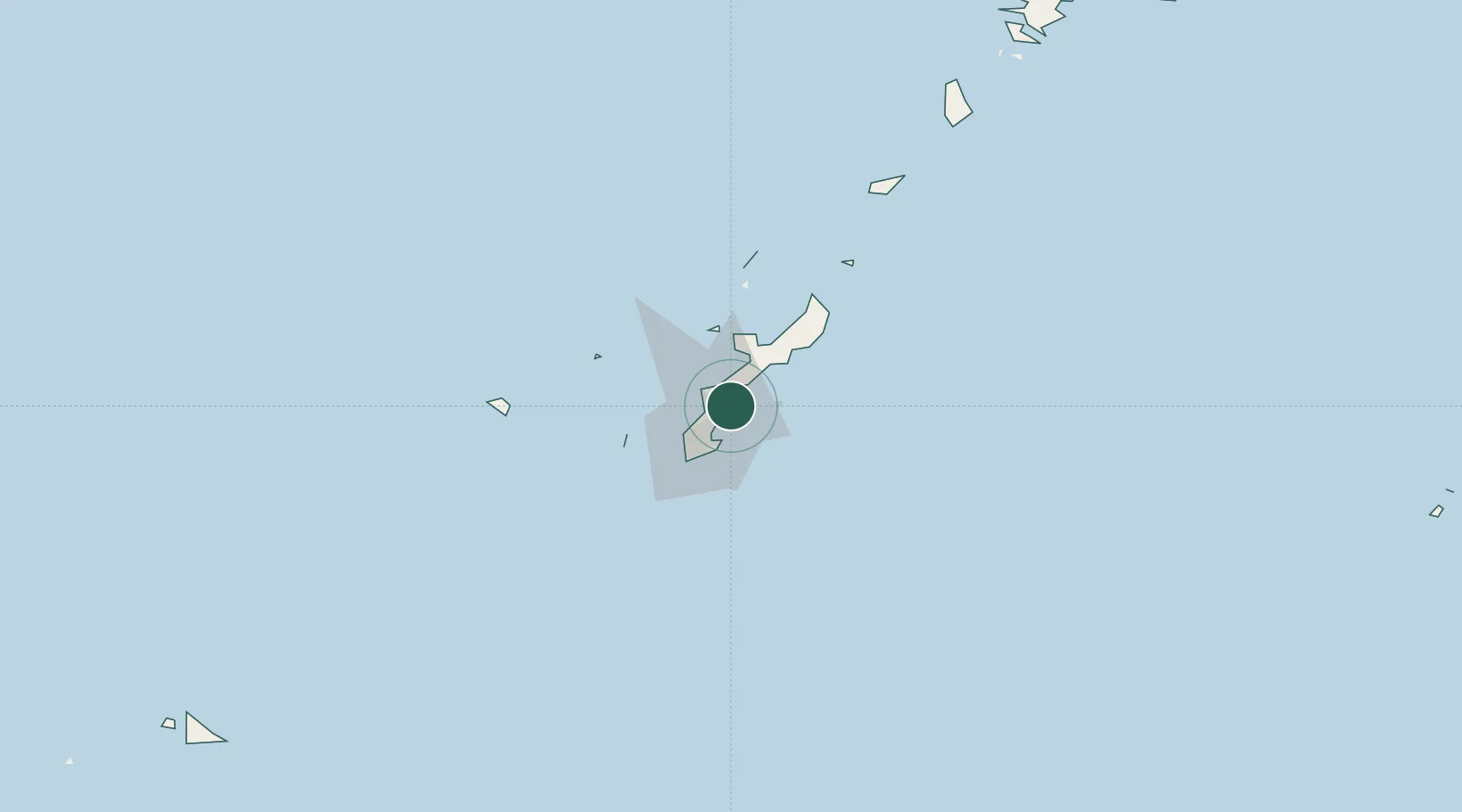
Location
Nearby Logistics Neighbours
Ports
- 1Kin Wan8 km
- 2Nakagusuku11 km
- 3Nishihara16 km
- 4Naha Ko24 km
- 5Hirara Ko311 km
Airports
- 1Kadena Air Base10 km
- 2Futenma Marine Corps Air Station14 km
- 3Naha International Airport29 km
- 4Iejima Airport42 km
- 5Aguni Airport68 km
DatabookThe Record of Consolidated Knowledge
Japan beyond logistics?