UN/LOCODE hub · Japan
JPAGM

Nagomi Kumamoto

32.9667°, 130.6000°
1
Transport functions

Transport Functions

Multimodal
UN/LOCODE

Hub Profile

Region
43
GeoNames

Location

Location of JPAGM
Natural Earth 10m (public domain) · 43 · JPAGM · 32.97, 130.60GoogleOSMYandex

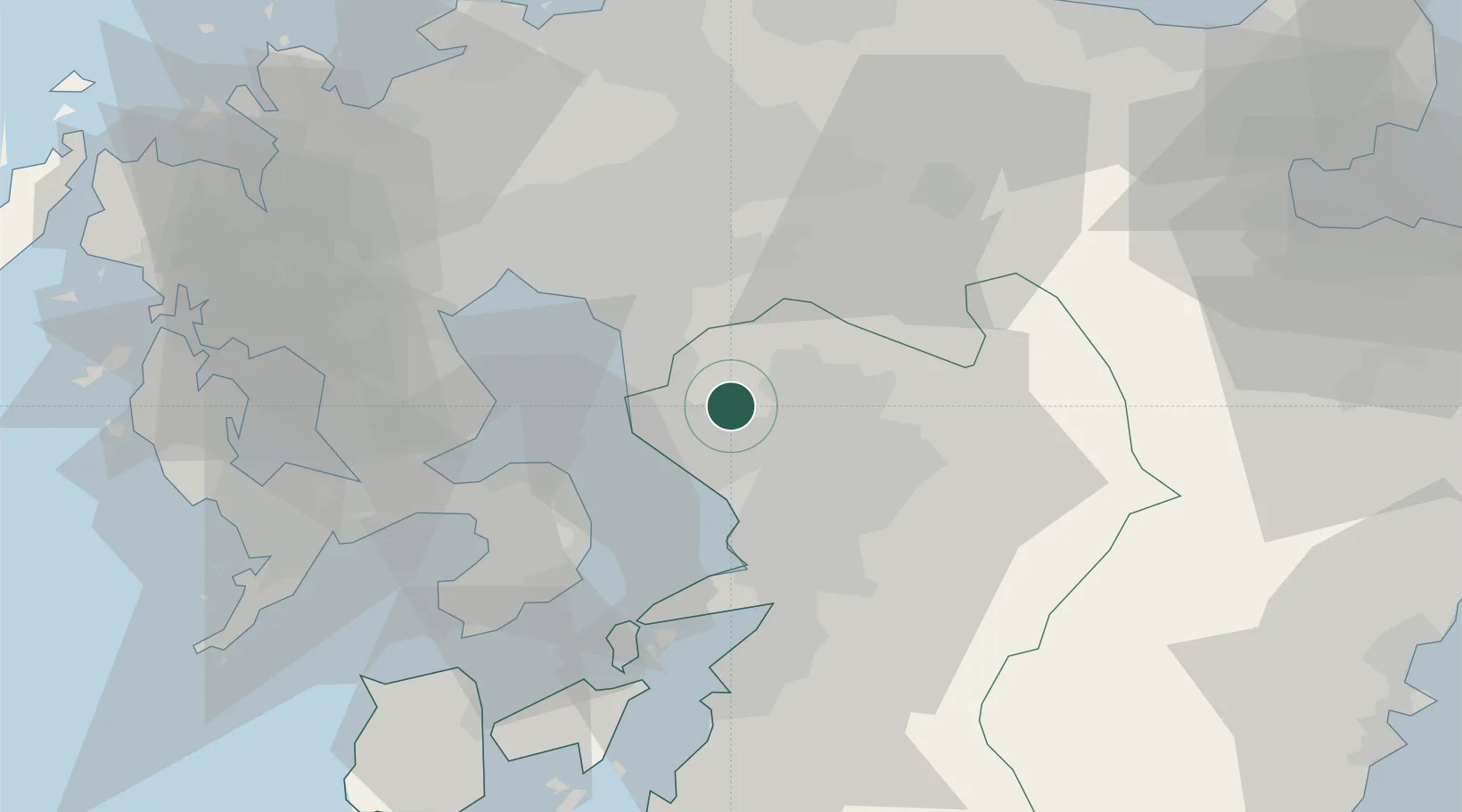
Nearby Logistics Neighbours

Cities
  1. 1Miike, Fukuoka18 km
  2. 2Koshi20 km
  3. 3Kikuchi Kumamoto20 km
  4. 4Kumamoto23 km
  5. 5Miyama, Fukuoka24 km
Nearest neighbours — logibook spatial index (haversine) over the source coordinates
Ports
  1. 1Miike Ko18 km
  2. 2Misumi Ko43 km
  3. 3Yatsushiro Ko52 km
  4. 4Hakata73 km
  5. 5Nagasaki75 km
Nearest neighbours — logibook spatial index (haversine) over the source coordinates
Airports
  1. 1Kumamoto Airport28 km
  2. 2Kyushu Saga International Airport34 km
  3. 3Nagasaki Airport64 km
  4. 4Amakusa Airport68 km
  5. 5Fukuoka Airport70 km
Nearest neighbours — logibook spatial index (haversine) over the source coordinates
DatabookThe Record of Consolidated Knowledge
Japan beyond logistics?
Browse databook

All Sources

LocationsUN/LOCODE
UN/LOCODE — free
Portsthe NGA World Port Index
Public domain (US gov)
AirportsOurAirports
Public domain
Trade Zonesthe World Bank SEZ database
CC BY 4.0
Trade ZonesOpen Zone Map
CC BY
← Japan locations