Transport Functions
Rail
Road
Hub Profile
Place type
Urban district
Region
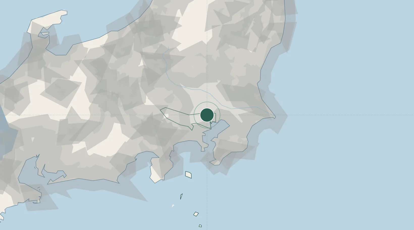
Tokyo
Population
584,483
Time zone
Asia/Tokyo
Elevation
35 m
Location
Nearby Logistics Neighbours
Cities
- 1Shinjuku-ku7 km
- 2Warabi8 km
- 3Toda8 km
- 4Chiyoda-ku8 km
- 5Tokyo-To8 km
Ports
- 1Tokyo Ko10 km
- 2Funabashi23 km
- 3Kawasaki Ko28 km
- 4Yokohama Ko36 km
- 5Chiba Ko37 km
Airports
- 1Chofu Airport19 km
- 2Tokyo Haneda International Airport23 km
- 3JMSDF Shimofusa Air Base27 km
- 4Iruma Air Base29 km
- 5Yokota Air Base33 km
DatabookThe Record of Consolidated Knowledge
Japan beyond logistics?